Transport Functions
Port
Rail
Road
Hub Profile
Place type
Provincial seat
Region
Stockholm
Population
9,074
Time zone
Europe/Stockholm
Elevation
16 m
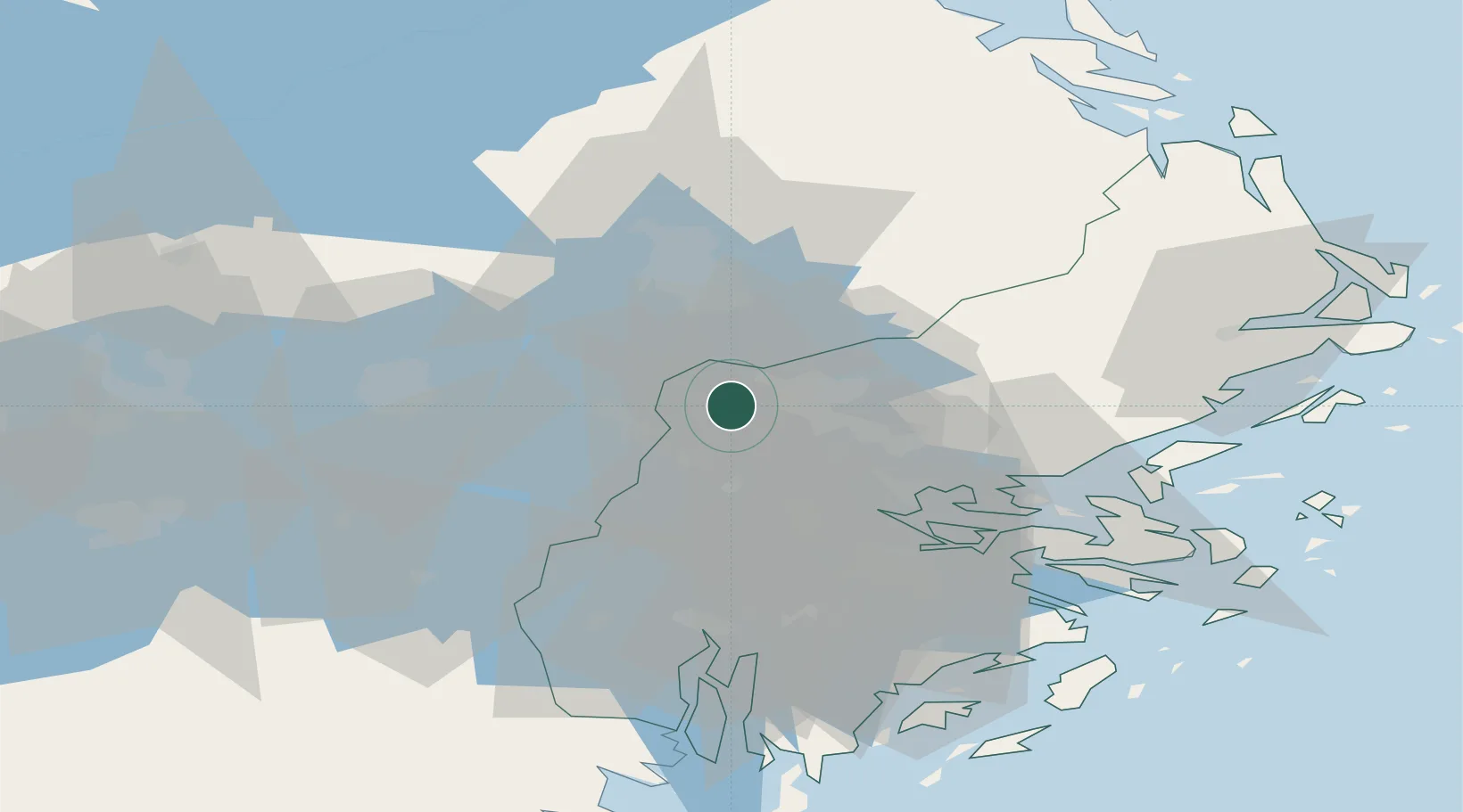
Location
Nearby Logistics Neighbours
Cities
- 1Kalmarsand12 km
- 2Bålsta13 km
- 3Löten24 km
- 4Ön25 km
- 5Järfälla26 km
Ports
- 1Stockholm37 km
- 2Sodertalje48 km
- 3Gustavsberg50 km
- 4Vasteras66 km
- 5Hallstavik68 km
Airports
- 1Stockholm-Arlanda Airport12 km
- 2Stockholm-Bromma Airport32 km
- 3Stockholm Västerås Airport61 km
- 4Eskilstuna Airport64 km
- 5Stockholm Skavsta Airport103 km
Trade Zones
- 1Stockholm Free Zone37 km
- 2Turku Free Zone266 km
- 3Freeport of Hanko291 km
- 4Jönköping Free Zone293 km
- 5Free port of Ventspils331 km
DatabookThe Record of Consolidated Knowledge
Sweden beyond logistics?