UN/LOCODE hub · Sweden
SEKAL

Kalmarsand

59.5500°, 17.5500°
1
Transport functions

Transport Functions

Port
UN/LOCODE

Hub Profile

Place type
Populated place
GeoNames
Region
Uppsala
GeoNames
Time zone
Europe/Stockholm
GeoNames
Elevation
3 m
GeoNames

Location

Location of SEKAL
Natural Earth 10m (public domain) · Uppsala · SEKAL · 59.55, 17.55GoogleOSMYandex

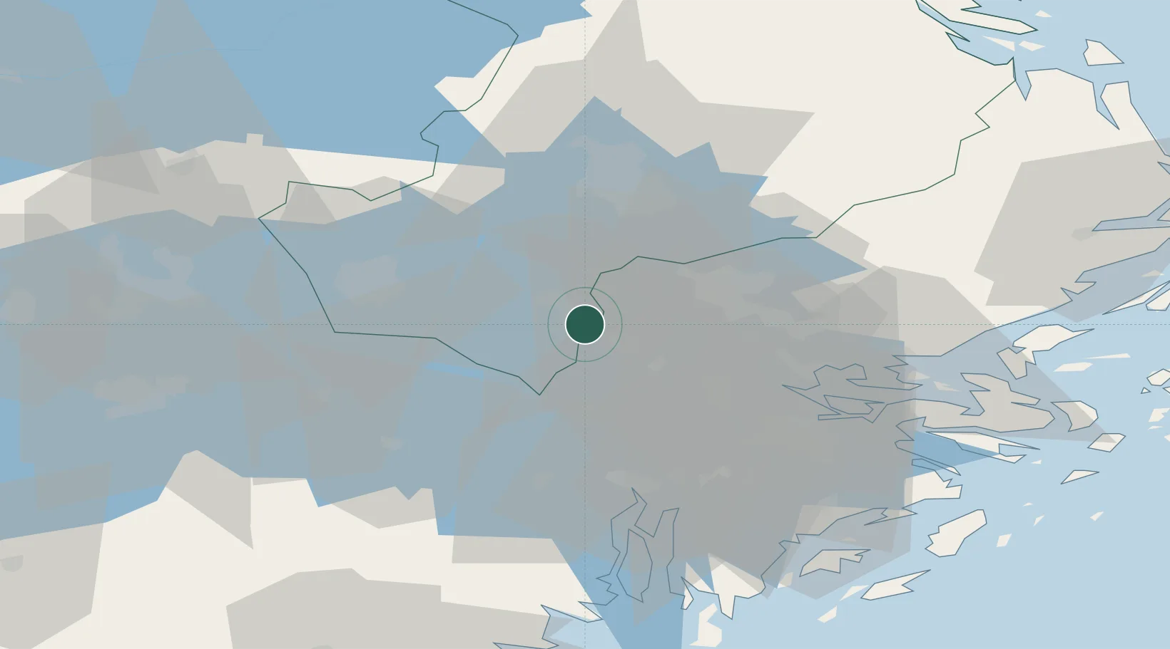
Nearby Logistics Neighbours

Cities
  1. 1Bålsta5 km
  2. 2Sigtuna12 km
  3. 3Ön13 km
  4. 4Löten15 km
  5. 5Grillby18 km
Nearest neighbours — logibook spatial index (haversine) over the source coordinates
Ports
  1. 1Stockholm37 km
  2. 2Sodertalje41 km
  3. 3Gustavsberg54 km
  4. 4Vasteras57 km
  5. 5Nynashamn76 km
Nearest neighbours — logibook spatial index (haversine) over the source coordinates
Airports
  1. 1Stockholm-Arlanda Airport24 km
  2. 2Stockholm-Bromma Airport31 km
  3. 3Stockholm Västerås Airport52 km
  4. 4Eskilstuna Airport53 km
  5. 5Stockholm Skavsta Airport92 km
Nearest neighbours — logibook spatial index (haversine) over the source coordinates
Trade Zones
  1. 1Stockholm Free Zone39 km
  2. 2Turku Free Zone278 km
  3. 3Jönköping Free Zone282 km
  4. 4Freeport of Hanko301 km
  5. 5Free port of Ventspils332 km
Nearest neighbours — logibook spatial index (haversine) over the source coordinates
DatabookThe Record of Consolidated Knowledge
Sweden beyond logistics?
Browse databook

All Sources

LocationsUN/LOCODE
UN/LOCODE — free
Portsthe NGA World Port Index
Public domain (US gov)
AirportsOurAirports
Public domain
Trade Zonesthe World Bank SEZ database
CC BY 4.0
Trade ZonesOpen Zone Map
CC BY
← Sweden locations