Transport Functions
Port
Rail
Road
Hub Profile
Region
AB
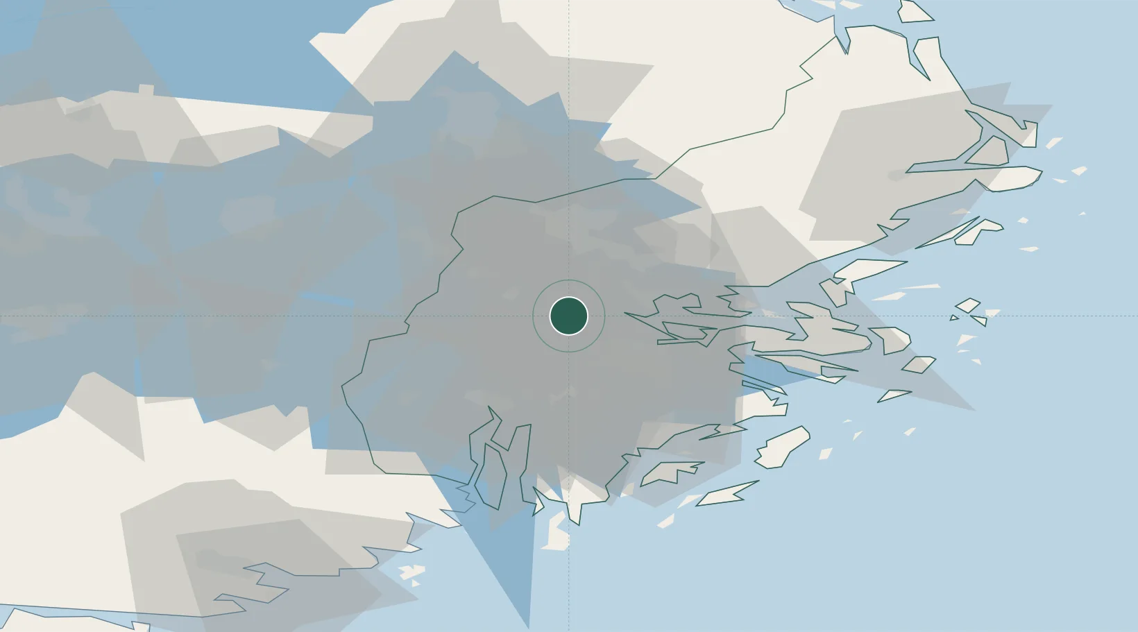
Location
Nearby Logistics Neighbours
Cities
- 1Bällstaviken8 km
- 2Drottningholm9 km
- 3Tomteboda/Solna10 km
- 4Segeltorp14 km
- 5Löten16 km
Ports
- 1Stockholm13 km
- 2Sodertalje27 km
- 3Gustavsberg31 km
- 4Nynashamn56 km
- 5Vasteras78 km
Airports
Trade Zones
- 1Stockholm Free Zone15 km
- 2Turku Free Zone269 km
- 3Jönköping Free Zone284 km
- 4Freeport of Hanko286 km
- 5Free port of Ventspils308 km
DatabookThe Record of Consolidated Knowledge
Sweden beyond logistics?