Transport Functions
Port
Road
Hub Profile
Place type
Provincial seat
Region
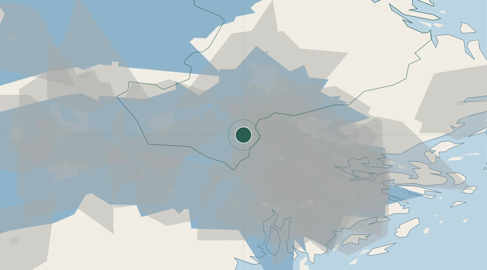
Uppsala
Population
13,138
Time zone
Europe/Stockholm
Elevation
14 m
Location
Nearby Logistics Neighbours
Cities
- 1Kalmarsand5 km
- 2Sigtuna13 km
- 3Ön15 km
- 4Grillby15 km
- 5Löten19 km
Ports
- 1Stockholm42 km
- 2Sodertalje45 km
- 3Vasteras54 km
- 4Gustavsberg58 km
- 5Hallstavik80 km
Airports
- 1Stockholm-Arlanda Airport25 km
- 2Stockholm-Bromma Airport36 km
- 3Stockholm Västerås Airport49 km
- 4Eskilstuna Airport52 km
- 5Stockholm Skavsta Airport94 km
Trade Zones
- 1Stockholm Free Zone43 km
- 2Turku Free Zone279 km
- 3Jönköping Free Zone282 km
- 4Freeport of Hanko303 km
- 5Free port of Ventspils337 km
DatabookThe Record of Consolidated Knowledge
Sweden beyond logistics?