Transport Functions
Rail
Road
Hub Profile
Region
Y
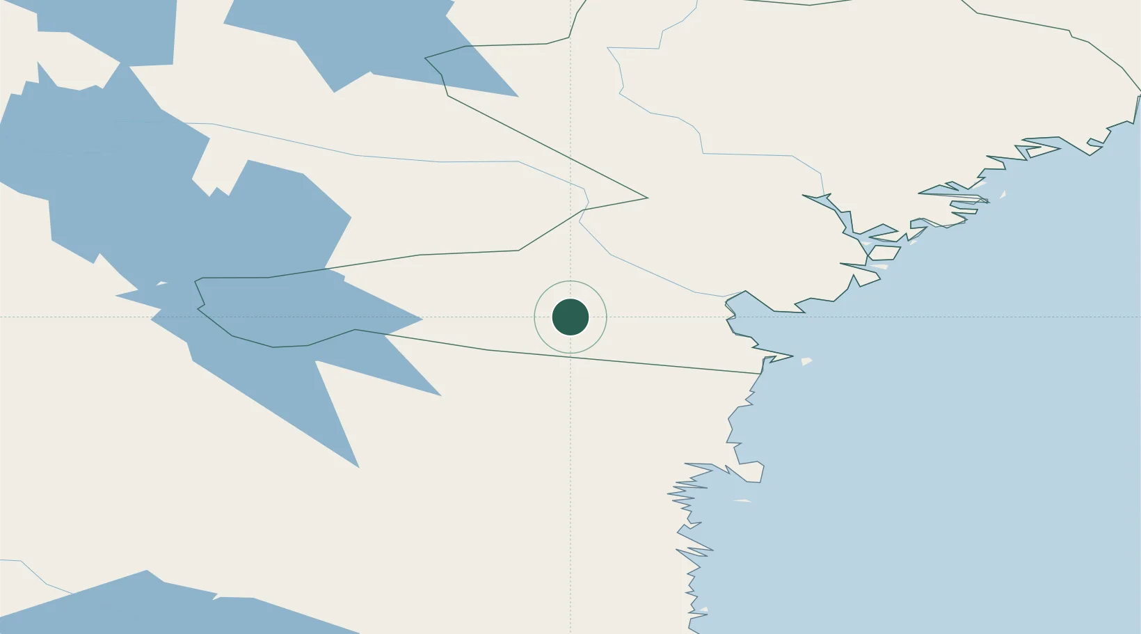
Location
Nearby Logistics Neighbours
Ports
- 1Sundsvall39 km
- 2Vivstavarv39 km
- 3Stockvik41 km
- 4Soraker47 km
- 5Stocka69 km
Airports
- 1Sundsvall-Härnösand Airport45 km
- 2Kramfors-Sollefteå Höga Kusten Airport92 km
- 3Sveg Airport120 km
- 4Söderhamn Airport131 km
- 5Åre Östersund Airport137 km
Trade Zones
- 1Stockholm Free Zone351 km
- 2Turku Free Zone370 km
- 3Freeport of Hanko443 km
- 4Oulu Port Free Warehouse Area520 km
- 5Paldiski Free Zone530 km
DatabookThe Record of Consolidated Knowledge
Sweden beyond logistics?