UN/LOCODE hub · Sweden
SEMSK

Muskö

58.9667°, 18.1167°
1
Transport functions

Transport Functions

Port
UN/LOCODE

Hub Profile

Region
AB
GeoNames

Location

Location of SEMSK
Natural Earth 10m (public domain) · AB · SEMSK · 58.97, 18.12GoogleOSMYandex

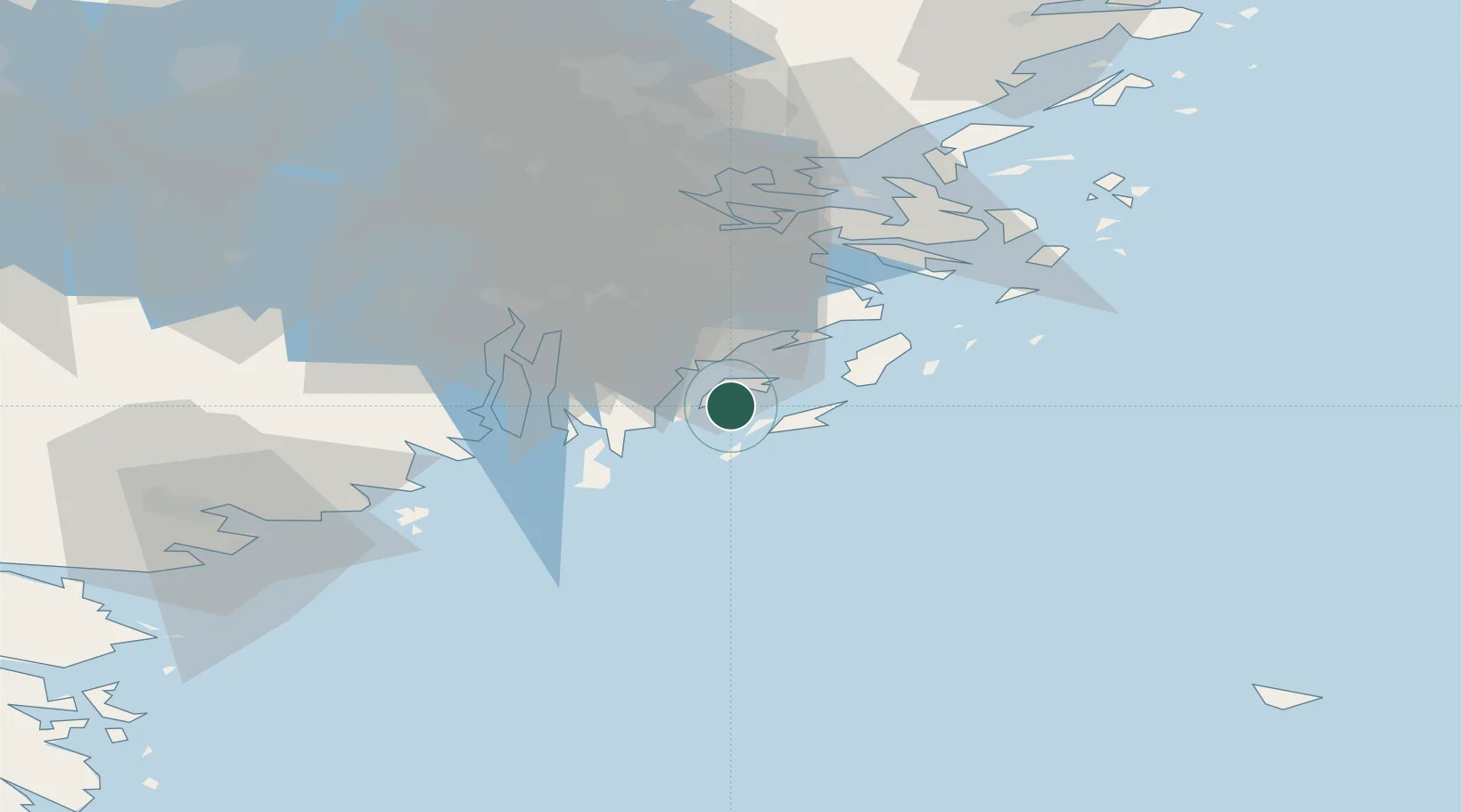
Nearby Logistics Neighbours

Cities
  1. 1Norvik9 km
  2. 2Nynäshamn11 km
  3. 3Berga Örlogsskolor13 km
  4. 4Österhaninge17 km
  5. 5Stora Vika19 km
Nearest neighbours — logibook spatial index (haversine) over the source coordinates
Ports
  1. 1Nynashamn11 km
  2. 2Sodertalje36 km
  3. 3Stockholm41 km
  4. 4Gustavsberg42 km
  5. 5Oxelosund67 km
Nearest neighbours — logibook spatial index (haversine) over the source coordinates
Airports
  1. 1Stockholm-Bromma Airport44 km
  2. 2Stockholm Skavsta Airport72 km
  3. 3Stockholm-Arlanda Airport77 km
  4. 4Eskilstuna Airport91 km
  5. 5Stockholm Västerås Airport109 km
Nearest neighbours — logibook spatial index (haversine) over the source coordinates
Trade Zones
  1. 1Stockholm Free Zone43 km
  2. 2Free port of Ventspils265 km
  3. 3Jönköping Free Zone270 km
  4. 4Turku Free Zone282 km
  5. 5Freeport of Hanko286 km
Nearest neighbours — logibook spatial index (haversine) over the source coordinates
DatabookThe Record of Consolidated Knowledge
Sweden beyond logistics?
Browse databook

All Sources

LocationsUN/LOCODE
UN/LOCODE — free
Portsthe NGA World Port Index
Public domain (US gov)
AirportsOurAirports
Public domain
Trade Zonesthe World Bank SEZ database
CC BY 4.0
Trade ZonesOpen Zone Map
CC BY
← Sweden locations