UN/LOCODE hub · Sweden
SEBGA

Berga Örlogsskolor

59.0833°, 18.1500°
1
Transport functions

Transport Functions

Port
UN/LOCODE

Location

Location of SEBGA
Natural Earth 10m (public domain) · Stockholm · SEBGA · 59.08, 18.15GoogleOSMYandex

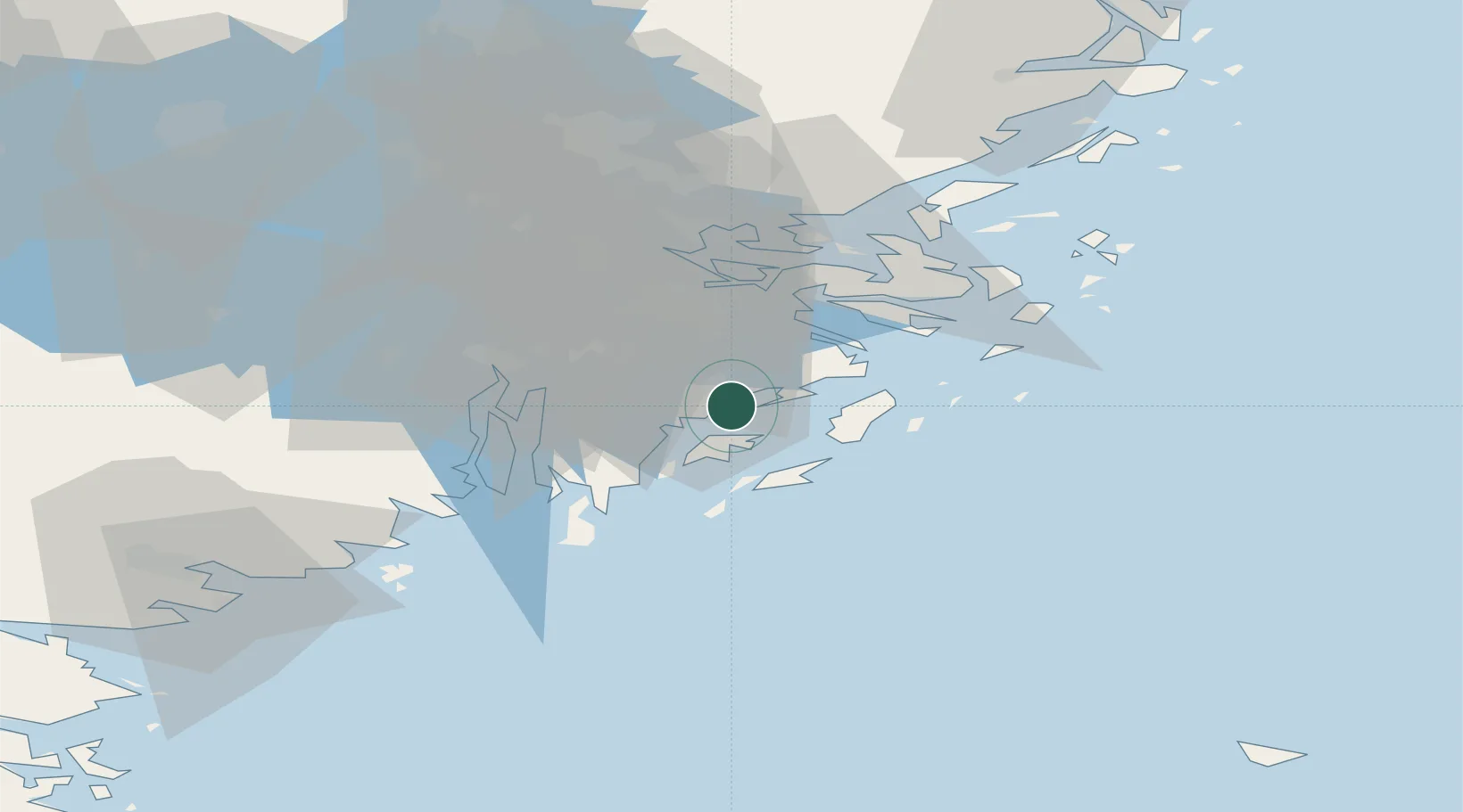
Nearby Logistics Neighbours

Cities
  1. 1Österhaninge4 km
  2. 2Haninge9 km
  3. 3Muskö13 km
  4. 4Vendelsö13 km
  5. 5Stockholm16 km
Nearest neighbours — logibook spatial index (haversine) over the source coordinates
Ports
  1. 1Nynashamn23 km
  2. 2Stockholm28 km
  3. 3Gustavsberg29 km
  4. 4Sodertalje31 km
  5. 5Nykoping75 km
Nearest neighbours — logibook spatial index (haversine) over the source coordinates
Airports
  1. 1Stockholm-Bromma Airport32 km
  2. 2Stockholm-Arlanda Airport64 km
  3. 3Stockholm Skavsta Airport78 km
  4. 4Eskilstuna Airport87 km
  5. 5Stockholm Västerås Airport103 km
Nearest neighbours — logibook spatial index (haversine) over the source coordinates
Trade Zones
  1. 1Stockholm Free Zone30 km
  2. 2Free port of Ventspils272 km
  3. 3Turku Free Zone273 km
  4. 4Jönköping Free Zone278 km
  5. 5Freeport of Hanko280 km
Nearest neighbours — logibook spatial index (haversine) over the source coordinates
DatabookThe Record of Consolidated Knowledge
Sweden beyond logistics?
Browse databook

All Sources

LocationsUN/LOCODE
UN/LOCODE — free
Portsthe NGA World Port Index
Public domain (US gov)
AirportsOurAirports
Public domain
Trade Zonesthe World Bank SEZ database
CC BY 4.0
Trade ZonesOpen Zone Map
CC BY
← Sweden locations