Transport Functions
Multimodal
Hub Profile
Place type
Populated place
Region
Stockholm
Time zone
Europe/Stockholm
Elevation
47 m
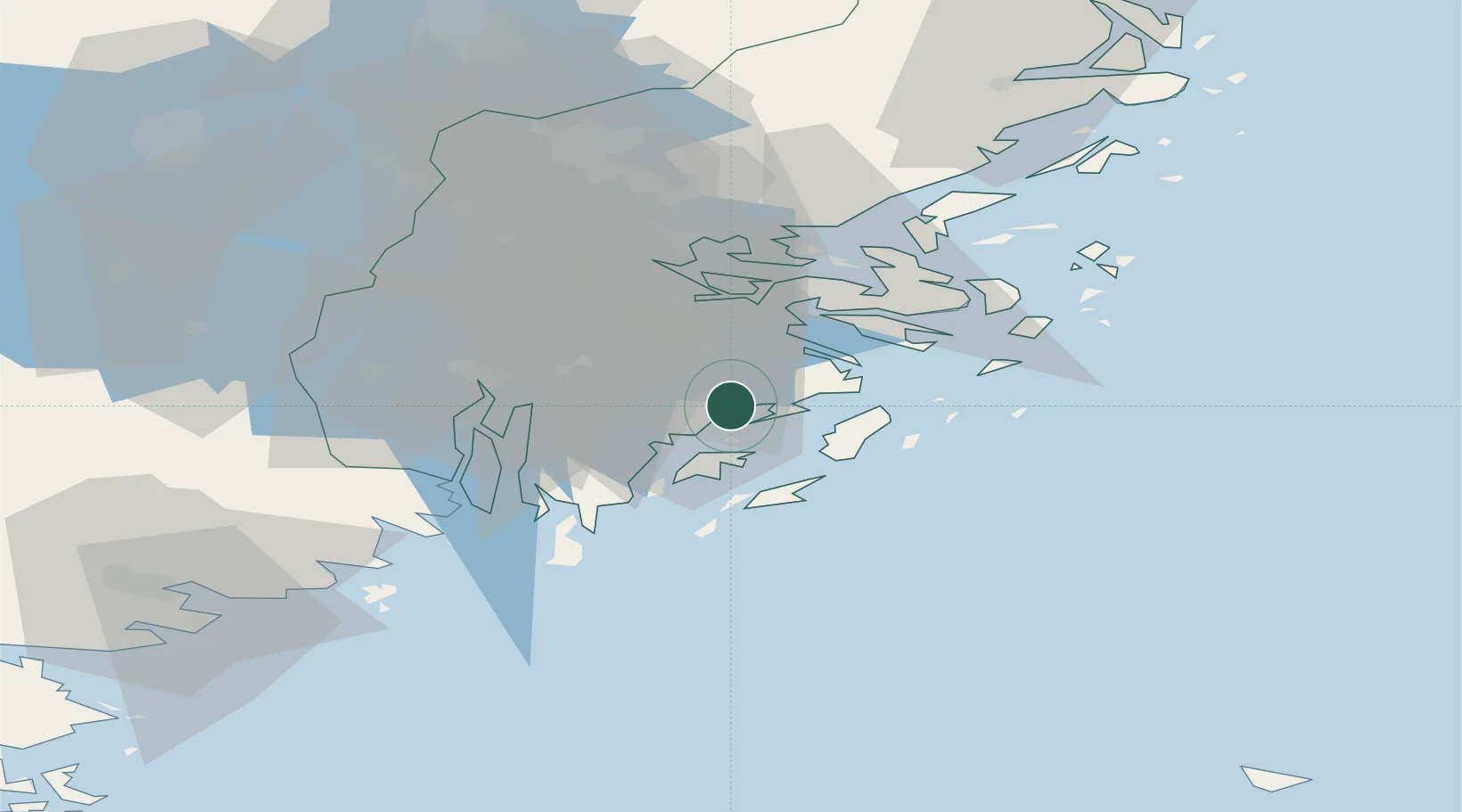
Location
Nearby Logistics Neighbours
Cities
- 1Berga Örlogsskolor4 km
- 2Haninge6 km
- 3Vendelsö10 km
- 4Stockholm13 km
- 5Trangsund13 km
Ports
- 1Stockholm25 km
- 2Gustavsberg25 km
- 3Nynashamn27 km
- 4Sodertalje30 km
- 5Nykoping78 km
Airports
- 1Stockholm-Bromma Airport29 km
- 2Stockholm-Arlanda Airport61 km
- 3Stockholm Skavsta Airport81 km
- 4Eskilstuna Airport87 km
- 5Stockholm Västerås Airport102 km
Trade Zones
- 1Stockholm Free Zone26 km
- 2Turku Free Zone270 km
- 3Free port of Ventspils274 km
- 4Freeport of Hanko278 km
- 5Jönköping Free Zone281 km
DatabookThe Record of Consolidated Knowledge
Sweden beyond logistics?