UN/LOCODE hub · Sweden
SENYN

Nynäshamn

58.9069°, 17.9567°
3
Transport functions
1
Container terminals

Transport Functions

Port
Rail
Road
Nynäshamn is also a profiled seaport →
UN/LOCODE

Hub Profile

Region
AB
GeoNames
Logistics facilities
1
UN/LOCODE
Container terminals
1
UN/LOCODE

Location

Location of SENYN
Natural Earth 10m (public domain) · AB · SENYN · 58.91, 17.96GoogleOSMYandex

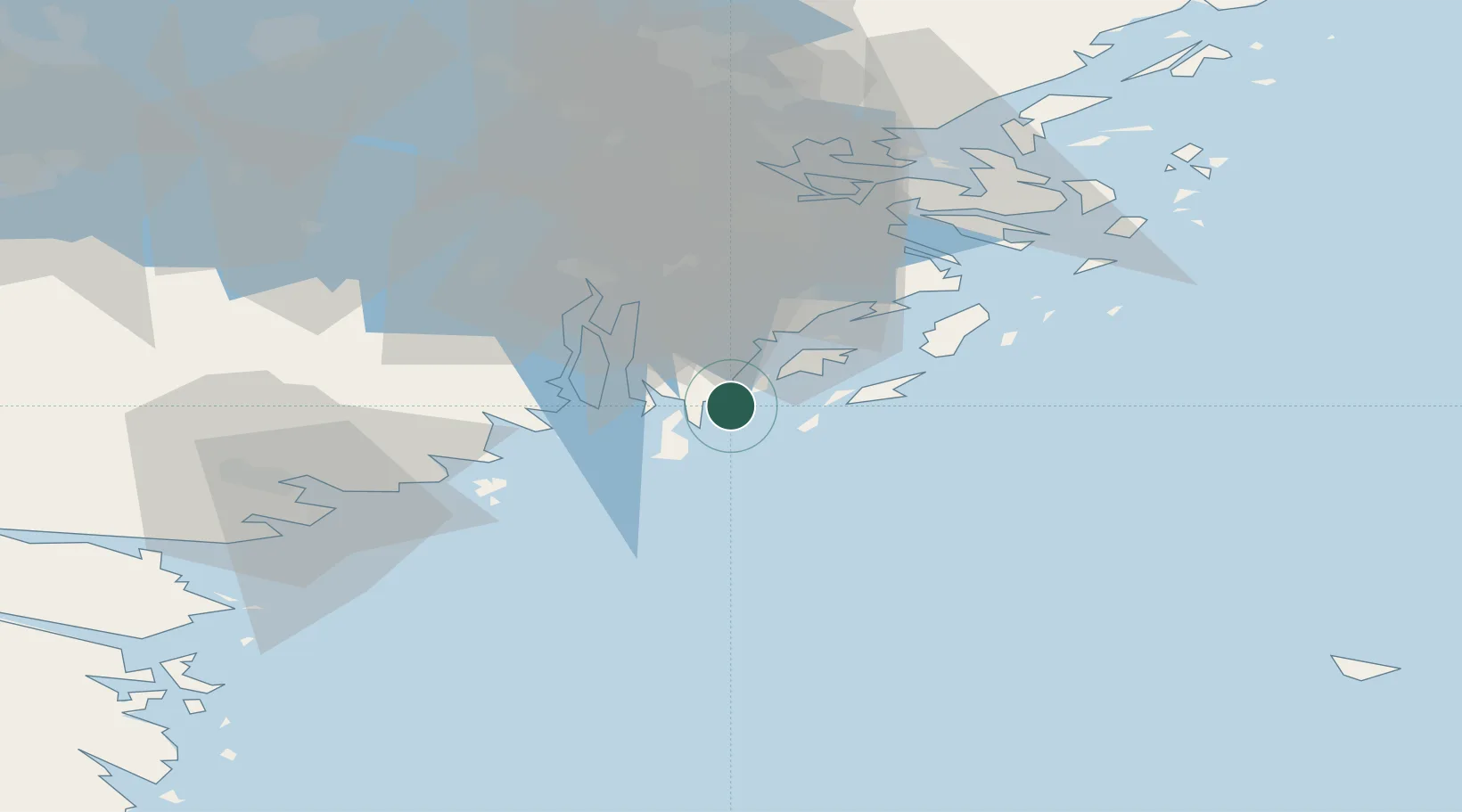
Nearby Logistics Neighbours

Cities
  1. 1Norvik3 km
  2. 2Stora Vika10 km
  3. 3Muskö11 km
  4. 4Kagghamra22 km
  5. 5Berga Örlogsskolor23 km
Nearest neighbours — logibook spatial index (haversine) over the source coordinates
Ports
  1. 1Sodertalje35 km
  2. 2Stockholm48 km
  3. 3Gustavsberg52 km
  4. 4Oxelosund55 km
  5. 5Nykoping57 km
Nearest neighbours — logibook spatial index (haversine) over the source coordinates
Airports
  1. 1Stockholm-Bromma Airport50 km
  2. 2Stockholm Skavsta Airport62 km
  3. 3Stockholm-Arlanda Airport83 km
  4. 4Eskilstuna Airport87 km
  5. 5Norrköping Airport105 km
Nearest neighbours — logibook spatial index (haversine) over the source coordinates
Trade Zones
  1. 1Stockholm Free Zone50 km
  2. 2Jönköping Free Zone259 km
  3. 3Free port of Ventspils268 km
  4. 4Turku Free Zone294 km
  5. 5Freeport of Hanko297 km
Nearest neighbours — logibook spatial index (haversine) over the source coordinates
DatabookThe Record of Consolidated Knowledge
Sweden beyond logistics?
Browse databook

All Sources

LocationsUN/LOCODE
UN/LOCODE — free
Portsthe NGA World Port Index
Public domain (US gov)
AirportsOurAirports
Public domain
Trade Zonesthe World Bank SEZ database
CC BY 4.0
Trade ZonesOpen Zone Map
CC BY
← Sweden locations