Transport Functions
Port
Rail
Road
Hub Profile
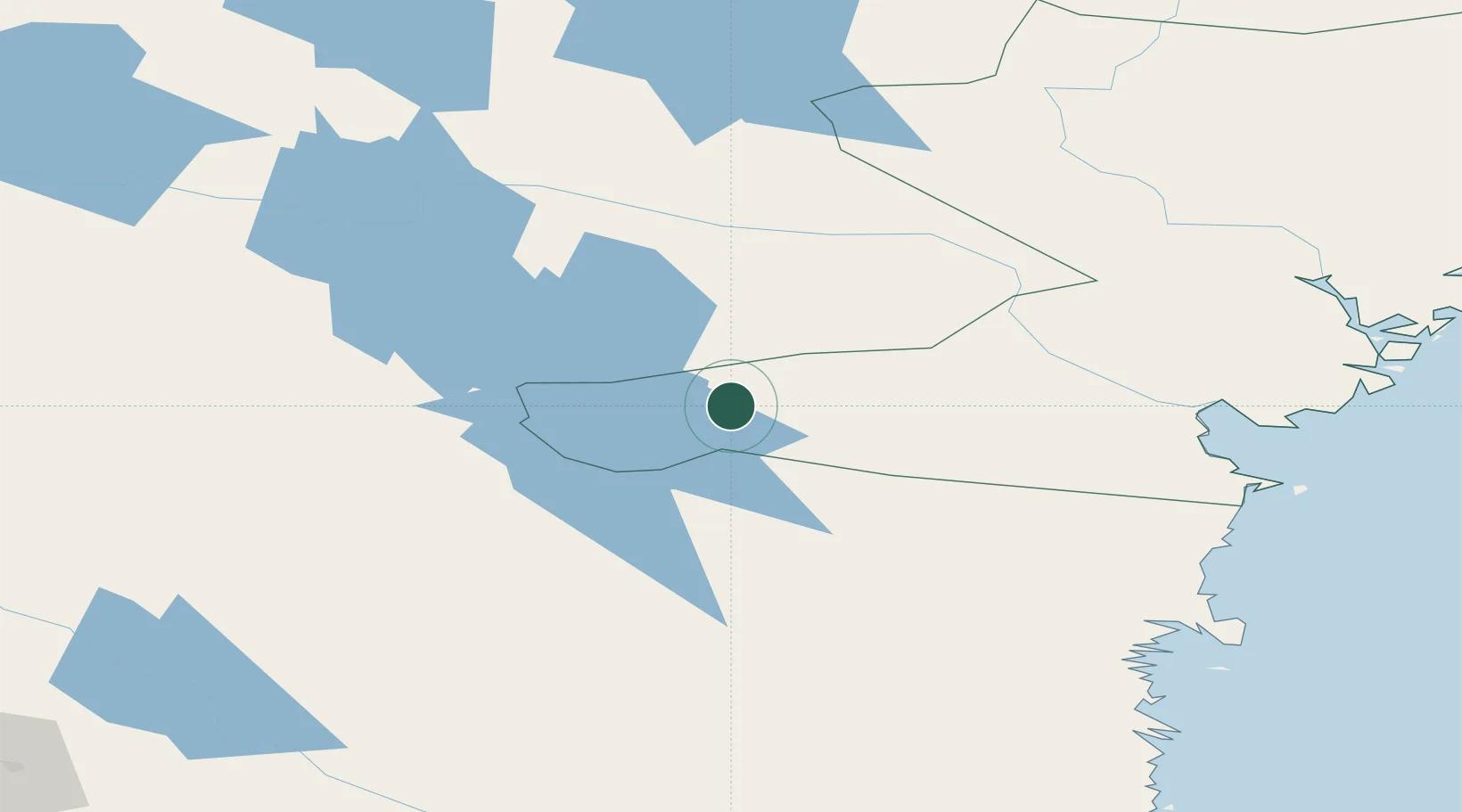
Place type
Provincial seat
Region
Västernorrland
Population
2,889
Time zone
Europe/Stockholm
Elevation
168 m
Location
Nearby Logistics Neighbours
Ports
- 1Vivstavarv89 km
- 2Sundsvall90 km
- 3Stockvik93 km
- 4Soraker97 km
- 5Stocka113 km
Airports
- 1Sveg Airport81 km
- 2Sundsvall-Härnösand Airport94 km
- 3Åre Östersund Airport94 km
- 4Kramfors-Sollefteå Höga Kusten Airport124 km
- 5Söderhamn Airport160 km
Trade Zones
- 1Stockholm Free Zone377 km
- 2Turku Free Zone419 km
- 3Freeport of Hanko491 km
- 4Jönköping Free Zone535 km
- 5Gothenburg Boundless Customs Warehouse575 km
DatabookThe Record of Consolidated Knowledge
Sweden beyond logistics?