Transport Functions
Port
Rail
Road
Hub Profile
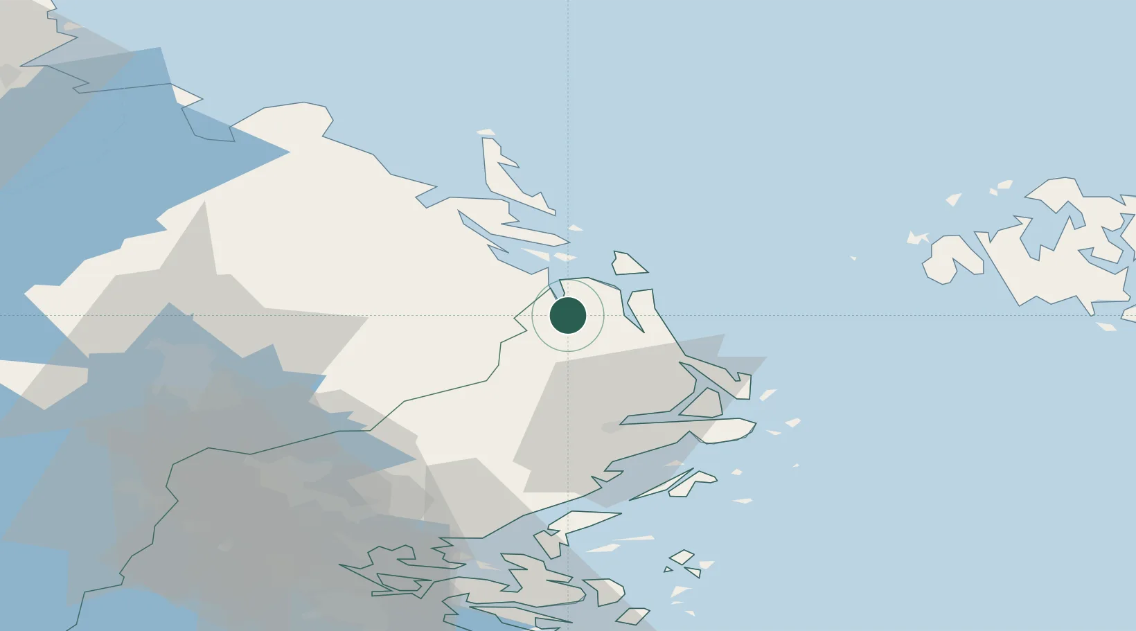
Place type
Populated place
Region
Stockholm
Population
4,536
Time zone
Europe/Stockholm
Elevation
31 m
Location
Nearby Logistics Neighbours
Cities
- 1Grisslehamn14 km
- 2Hargshamn15 km
- 3Norrtälje34 km
- 4Forsmark43 km
- 5Linanäs43 km
Ports
- 1Grisslehamn13 km
- 2Hargshamn17 km
- 3Mariehamn73 km
- 4Gustavsberg82 km
- 5Stockholm86 km
Airports
- 1Stockholm-Arlanda Airport58 km
- 2Mariehamn Airport72 km
- 3Stockholm-Bromma Airport86 km
- 4Gävle Sandviken Airport109 km
- 5Stockholm Västerås Airport121 km
Trade Zones
- 1Stockholm Free Zone83 km
- 2Turku Free Zone204 km
- 3Freeport of Hanko240 km
- 4Paldiski Free Zone317 km
- 5Free port of Ventspils339 km
DatabookThe Record of Consolidated Knowledge
Sweden beyond logistics?