Transport Functions
Port
Hub Profile
Place type
Populated place
Region
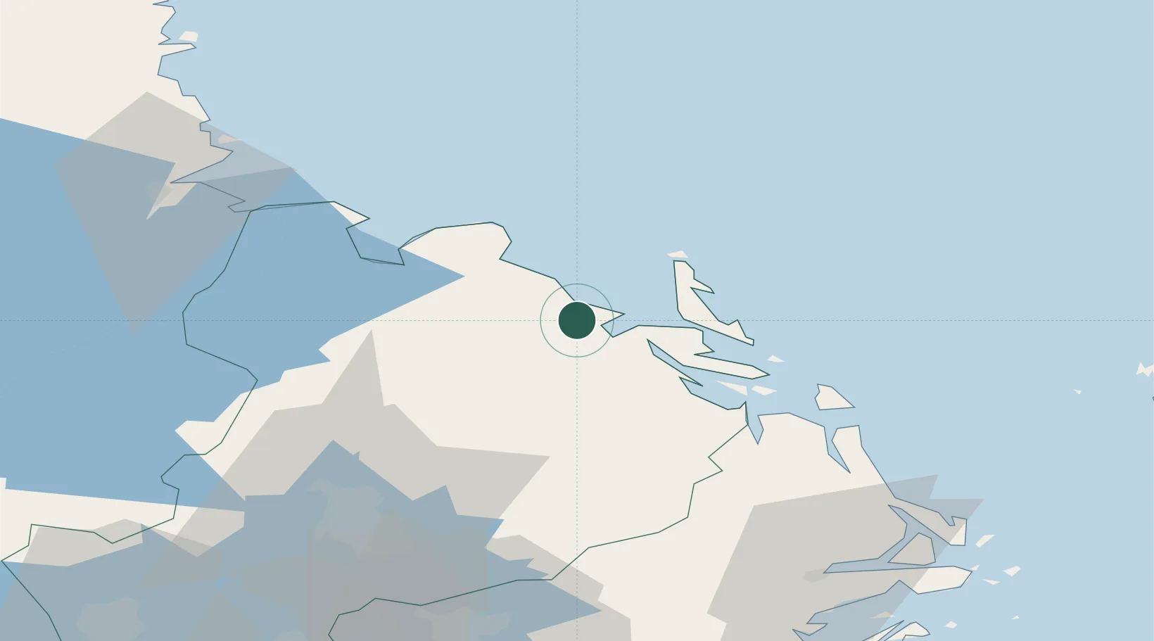
Uppsala
Time zone
Europe/Stockholm
Elevation
7 m
Location
Nearby Logistics Neighbours
Cities
- 1Skärplinge25 km
- 2Hargshamn28 km
- 3Grönö28 km
- 4Tobo31 km
- 5Karlholmsbruk34 km
Ports
- 1Hargshamn26 km
- 2Hallstavik43 km
- 3Grisslehamn47 km
- 4Skutskar52 km
- 5Karskar60 km
Airports
- 1Gävle Sandviken Airport70 km
- 2Stockholm-Arlanda Airport81 km
- 3Mariehamn Airport100 km
- 4Stockholm-Bromma Airport113 km
- 5Söderhamn Airport115 km
Trade Zones
- 1Stockholm Free Zone113 km
- 2Turku Free Zone223 km
- 3Freeport of Hanko269 km
- 4Paldiski Free Zone350 km
- 5Jönköping Free Zone371 km
DatabookThe Record of Consolidated Knowledge
Sweden beyond logistics?