UN/LOCODE hub · Sweden
SEGRH

Grisslehamn

60.1000°, 18.8333°
418
Population
1
Transport functions

Transport Functions

Port
Grisslehamn is also a profiled seaport →
UN/LOCODE

Hub Profile

Place type
Populated place
GeoNames
Region
Stockholm
GeoNames
Population
418
GeoNames
Time zone
Europe/Stockholm
GeoNames
Elevation
17 m
GeoNames

Location

Location of SEGRH
Natural Earth 10m (public domain) · Stockholm · SEGRH · 60.10, 18.83GoogleOSMYandex

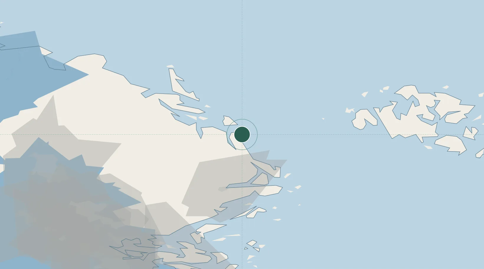
Nearby Logistics Neighbours

Cities
  1. 1Hallstavik14 km
  2. 2Hargshamn22 km
  3. 3Norrtälje40 km
  4. 4Linanäs41 km
  5. 5Kapellskär44 km
Nearest neighbours — logibook spatial index (haversine) over the source coordinates
Ports
  1. 1Hallstavik15 km
  2. 2Hargshamn23 km
  3. 3Mariehamn60 km
  4. 4Gustavsberg91 km
  5. 5Stockholm96 km
Nearest neighbours — logibook spatial index (haversine) over the source coordinates
Airports
  1. 1Mariehamn Airport59 km
  2. 2Stockholm-Arlanda Airport71 km
  3. 3Stockholm-Bromma Airport97 km
  4. 4Gävle Sandviken Airport117 km
  5. 5Stockholm Västerås Airport135 km
Nearest neighbours — logibook spatial index (haversine) over the source coordinates
Trade Zones
  1. 1Stockholm Free Zone93 km
  2. 2Turku Free Zone190 km
  3. 3Freeport of Hanko227 km
  4. 4Paldiski Free Zone306 km
  5. 5Free port of Ventspils338 km
Nearest neighbours — logibook spatial index (haversine) over the source coordinates
DatabookThe Record of Consolidated Knowledge
Sweden beyond logistics?
Browse databook

All Sources

LocationsUN/LOCODE
UN/LOCODE — free
LocationsGeoNames
CC BY 4.0
Portsthe NGA World Port Index
Public domain (US gov)
AirportsOurAirports
Public domain
Trade Zonesthe World Bank SEZ database
CC BY 4.0
Trade ZonesOpen Zone Map
CC BY
← Sweden locations