Transport Functions
Port
Rail
Road
Hub Profile
Place type
Populated place
Region
Uppsala
Population
289
Time zone
Europe/Stockholm
Elevation
1 m
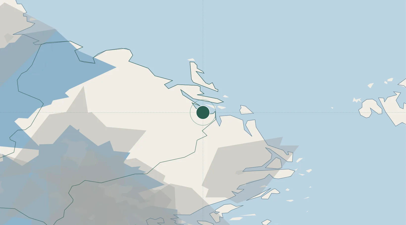
Location
Nearby Logistics Neighbours
Cities
- 1Hallstavik15 km
- 2Grisslehamn22 km
- 3Forsmark28 km
- 4Tobo47 km
- 5Norrtälje48 km
Ports
- 1Hallstavik15 km
- 2Grisslehamn21 km
- 3Skutskar80 km
- 4Mariehamn81 km
- 5Karskar87 km
Airports
- 1Stockholm-Arlanda Airport65 km
- 2Mariehamn Airport79 km
- 3Stockholm-Bromma Airport95 km
- 4Gävle Sandviken Airport96 km
- 5Stockholm Västerås Airport121 km
Trade Zones
- 1Stockholm Free Zone93 km
- 2Turku Free Zone209 km
- 3Freeport of Hanko248 km
- 4Paldiski Free Zone328 km
- 5Free port of Ventspils354 km
DatabookThe Record of Consolidated Knowledge
Sweden beyond logistics?