Transport Functions
Port
Road
Hub Profile
Place type
Populated place
Region
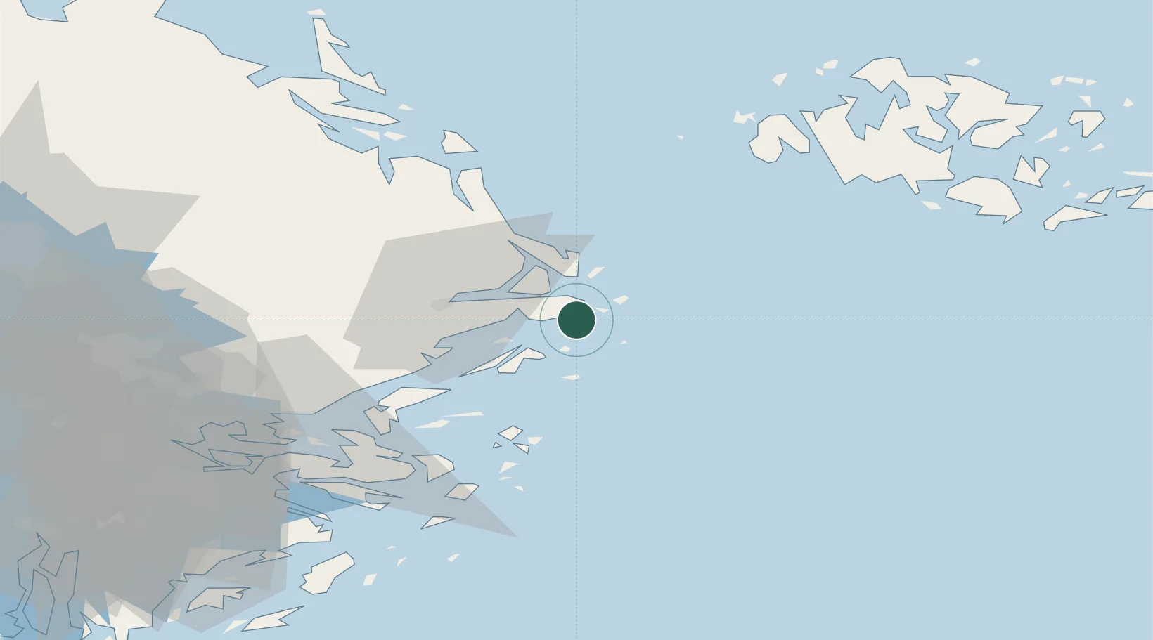
Stockholm
Time zone
Europe/Stockholm
Elevation
9 m
Logistics facilities
1
Container terminals
1
Location
Nearby Logistics Neighbours
Cities
- 1Linanäs6 km
- 2Norrtälje20 km
- 3Grisslehamn44 km
- 4Hallstavik45 km
- 5Vaxholm55 km
Ports
- 1Grisslehamn44 km
- 2Hallstavik45 km
- 3Gustavsberg59 km
- 4Hargshamn62 km
- 5Mariehamn63 km
Airports
- 1Stockholm-Arlanda Airport64 km
- 2Mariehamn Airport64 km
- 3Stockholm-Bromma Airport75 km
- 4Stockholm Västerås Airport137 km
- 5Eskilstuna Airport139 km
Trade Zones
- 1Stockholm Free Zone68 km
- 2Turku Free Zone192 km
- 3Freeport of Hanko214 km
- 4Free port of Ventspils295 km
- 5Jönköping Free Zone360 km
DatabookThe Record of Consolidated Knowledge
Sweden beyond logistics?