Transport Functions
Rail
Road
Hub Profile
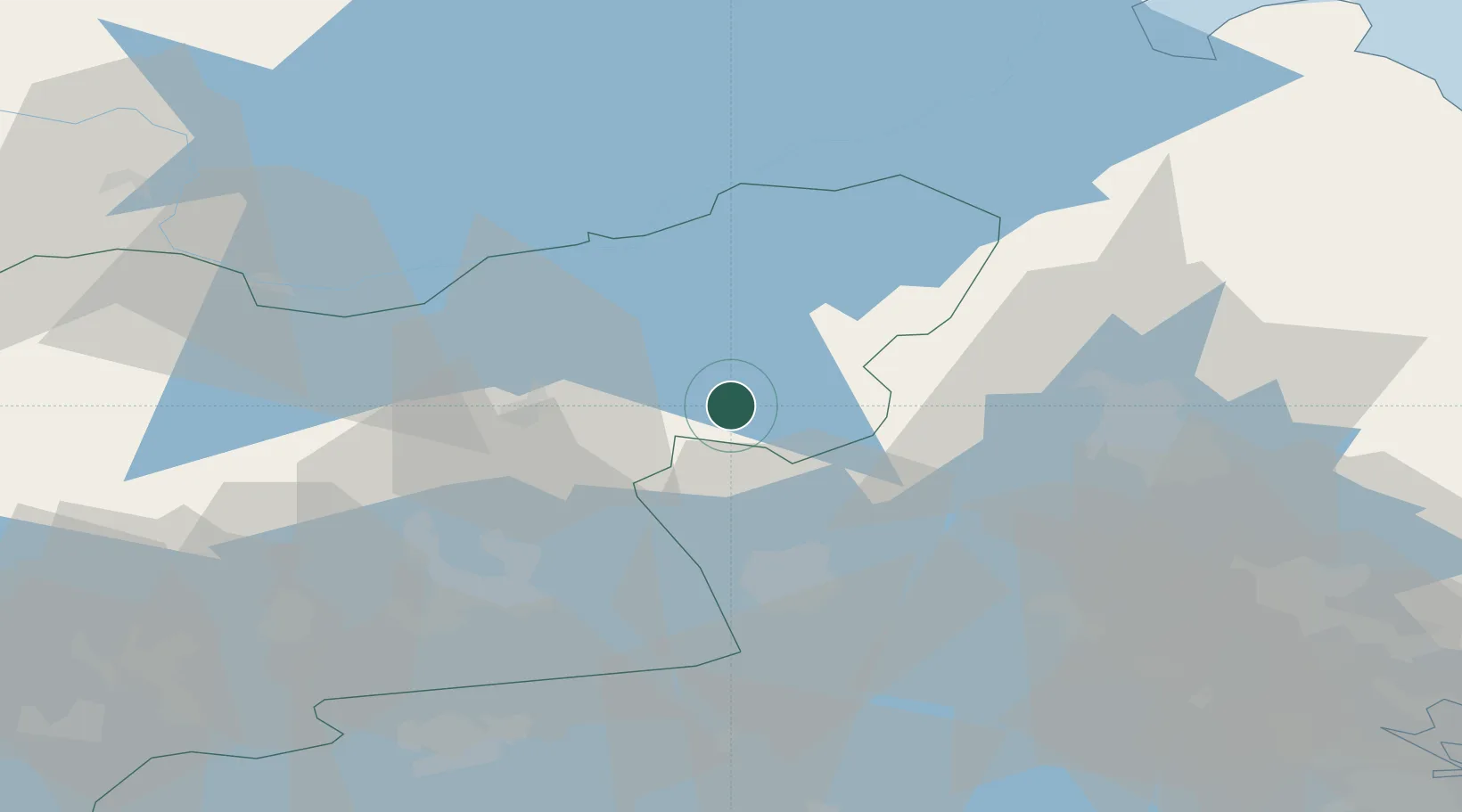
Place type
Populated place
Region
Uppsala
Population
1,441
Time zone
Europe/Stockholm
Elevation
75 m
Location
Nearby Logistics Neighbours
Airports
- 1Stockholm Västerås Airport42 km
- 2Stockholm-Arlanda Airport63 km
- 3Eskilstuna Airport66 km
- 4Gävle Sandviken Airport73 km
- 5Stockholm-Bromma Airport85 km
Trade Zones
- 1Stockholm Free Zone92 km
- 2Jönköping Free Zone292 km
- 3Turku Free Zone296 km
- 4Freeport of Hanko331 km
- 5Gothenburg Boundless Customs Warehouse386 km
DatabookThe Record of Consolidated Knowledge
Sweden beyond logistics?