Transport Functions
Rail
Road
Hub Profile
Place type
Populated place
Region
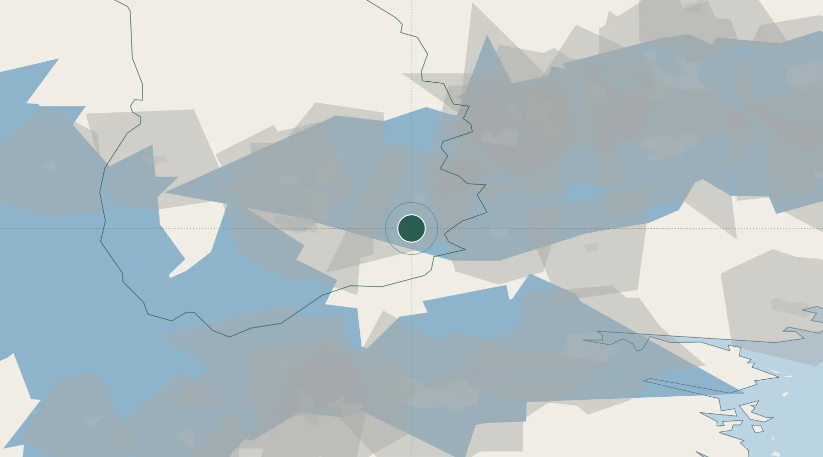
Örebro
Population
233
Time zone
Europe/Stockholm
Elevation
81 m
Location
Nearby Logistics Neighbours
Cities
- 1Pålsboda10 km
- 2Åsbro28 km
- 3Ljusfallshammar32 km
- 4Zinkgruvan37 km
- 5Vintrosa38 km
Ports
- 1Norrkoping67 km
- 2Vasteras85 km
- 3Nykoping93 km
- 4Oxelosund102 km
- 5Sodertalje122 km
Airports
- 1Örebro Airport32 km
- 2Karlskoga Airport66 km
- 3Norrköping Airport68 km
- 4Linköping City Airport74 km
- 5Malmen Air Base74 km
Trade Zones
- 1Stockholm Free Zone151 km
- 2Jönköping Free Zone167 km
- 3Gothenburg Boundless Customs Warehouse264 km
- 4Free port of Ventspils397 km
- 5MTS Malmö Transport and Spedition411 km
DatabookThe Record of Consolidated Knowledge
Sweden beyond logistics?