Transport Functions
Port
Hub Profile
Place type
Populated place
Region
Leningradskaya Oblast'
Time zone
Europe/Moscow
Elevation
139 m
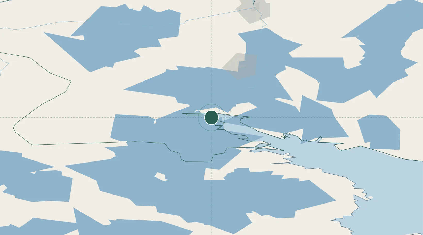
Location
Nearby Logistics Neighbours
Cities
- 1Solovki238 km
- 2Ura-Guba245 km
- 3Taivalkoski248 km
- 4Zapolyarnyy267 km
- 5Kostomuksha276 km
Ports
- 1Kandalaksha7 km
- 2Murmansk213 km
- 3Kirkenes309 km
- 4Ostrovnoy Gremikha324 km
- 5Vadso349 km
Airports
- 1Olenya Air Base128 km
- 2Kuusamo Airport183 km
- 3Emperor Nicholas II Murmansk Airport190 km
- 4Severomorsk-3 Naval Air Base207 km
- 5Severomorsk-1 Naval Air Base221 km
Trade Zones
DatabookThe Record of Consolidated Knowledge
Russia beyond logistics?