Transport Functions
Rail
Road
Hub Profile
Place type
District seat
Region
North Ostrobothnia
Population
3,624
Time zone
Europe/Helsinki
Elevation
207 m
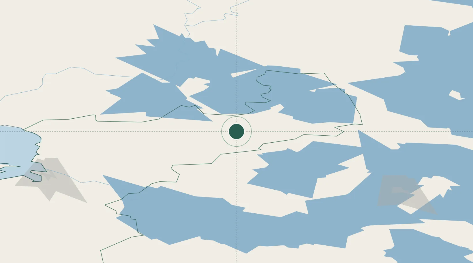
Location
Nearby Logistics Neighbours
Cities
- 1Halonen129 km
- 2Vartius144 km
- 3Kajaani (Kajana)151 km
- 4Kostomuksha155 km
- 5Vuokatti161 km
Ports
- 1Oulu146 km
- 2Veitsiluoto167 km
- 3Kemi170 km
- 4Tornio188 km
- 5Raahe204 km
Airports
- 1Kuusamo Airport65 km
- 2Kajaani Airport145 km
- 3Oulu Airport152 km
- 4Kostomuksha Airfield155 km
- 5Rovaniemi Airport156 km
Trade Zones
DatabookThe Record of Consolidated Knowledge
Finland beyond logistics?