Transport Functions
Port
Road
Hub Profile
Region
Karelia
Time zone
Europe/Moscow
Elevation
154 m
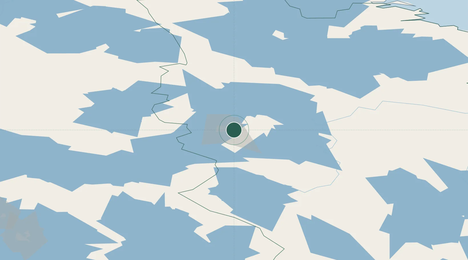
Location
Nearby Logistics Neighbours
Cities
- 1Vartius45 km
- 2Varpuniemi (Kello)134 km
- 3Vuokatti139 km
- 4Nurmes151 km
- 5Taivalkoski155 km
Ports
- 1Oulu259 km
- 2Vitino275 km
- 3Kandalaksha282 km
- 4Raahe304 km
- 5Veitsiluoto310 km
Airports
- 1Kostomuksha Airfield10 km
- 2Kajaani Airport156 km
- 3Kuusamo Airport162 km
- 4Joensuu Airport233 km
- 5Solovki Airport235 km
Trade Zones
DatabookThe Record of Consolidated Knowledge
Russia beyond logistics?