Medium airport · Finland
Kuusamo AirportEFKS
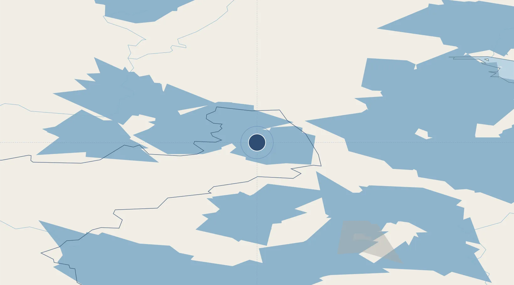
65.9876°, 29.2394°
8,202 ft
Longest runway
1
Runways
866 ft
Elevation
Runway & Layout

Radio Frequencies
ATIS
114.4 MHz
AFIS
118.65 MHz
Navaids
KLA VOR-DME Kantola 114.40 MHz
KS NDB Kilo-Sierra 340 kHz
Runways · 1
| Runway | Dimensions | Surface | True heading | Lit |
|---|---|---|---|---|
| 12/30 | 8,202 × 148ft | Asphalt | 132° | ✓ |
Airport Specifications
IATA code
KAO
ICAO code
EFKS
Airport class
Medium airport
Scheduled service
Yes
Runway surface
Asphalt
Served city
Kuusamo
Location
Nearby Logistics Neighbours
Airports
- 1Rovaniemi Airport165 km
- 2Kostomuksha Airfield167 km
- 3Sodankyla Airport194 km
- 4Kajaani Airport203 km
- 5Kemi-Tornio Airport213 km
Cities
- 1Taivalkoski65 km
- 2Halonen110 km
- 3Kostomuksha162 km
- 4Vartius169 km
- 5Kajaani (Kajana)208 km
Ports
- 1Vitino183 km
- 2Kandalaksha190 km
- 3Oulu207 km
- 4Veitsiluoto213 km
- 5Kemi214 km
Trade Zones
DatabookThe Record of Consolidated Knowledge
Finland beyond logistics?