Transport Functions
Rail
Road
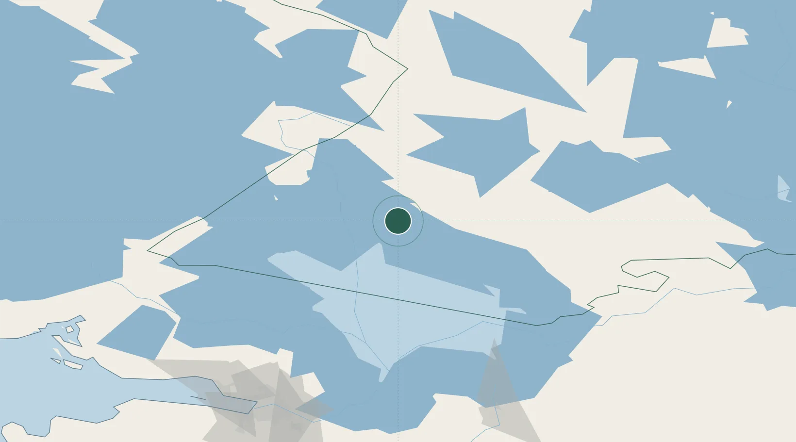
Hub Profile
Place type
Provincial seat
Region
Karelia
Population
13,090
Time zone
Europe/Moscow
Elevation
34 m
Location
Nearby Logistics Neighbours
Ports
- 1Vyborg175 km
- 2Gavan Vysotsk189 km
- 3Kronshtadt199 km
- 4Primorsk204 km
- 5Lomonosov206 km
Airports
- 1Kitee Airport100 km
- 2Savonlinna Airport140 km
- 3Petrozavodsk Airport145 km
- 4Peski Airfield151 km
- 5Joensuu Airport155 km
Trade Zones
- 1Free Zone of Lappeenranta189 km
- 2St Petersburg Technology Innovative Special Economic Zone208 km
- 3Port of Hamina-Kotka274 km
- 4Port of Sillamäe315 km
- 5Muuga Free Zone436 km
DatabookThe Record of Consolidated Knowledge
Russia beyond logistics?