Runway & Layout

Runways · 1
| Runway | Dimensions | Surface | True heading | Lit |
|---|---|---|---|---|
| 05/23 | 2,295 × 98ft | Asphalt | — | ✓ |
Airport Specifications
ICAO code
ULPP
Airport class
Medium airport
Scheduled service
No
Runway surface
Asphalt
Served city
Petrozavodsk
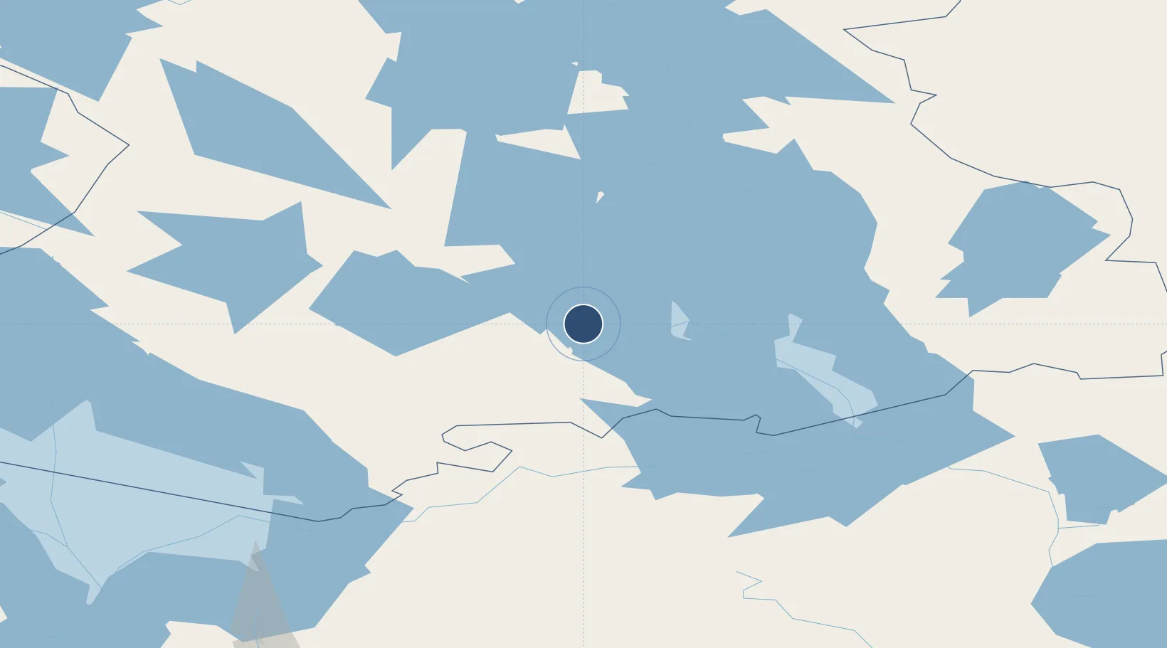
Location
Nearby Logistics Neighbours
Airports
- 1Petrozavodsk Airport10 km
- 2Kizhi helipad56 km
- 3Pudozh120 km
- 4Kitee Airport224 km
- 5Levashovo Air Base294 km
Cities
- 1Kondopoga41 km
- 2Oleniy Ostrov59 km
- 3Pitkyaranta151 km
- 4Uusikylä196 km
- 5Värtsilä197 km
Ports
- 1Kronshtadt319 km
- 2Vyborg321 km
- 3Lomonosov325 km
- 4Gavan Vysotsk335 km
- 5Primorsk345 km
Trade Zones
DatabookThe Record of Consolidated Knowledge
Russia beyond logistics?