Transport Functions
Multimodal
Hub Profile
Place type
Populated place
Region
North Karelia
Time zone
Europe/Helsinki
Elevation
76 m
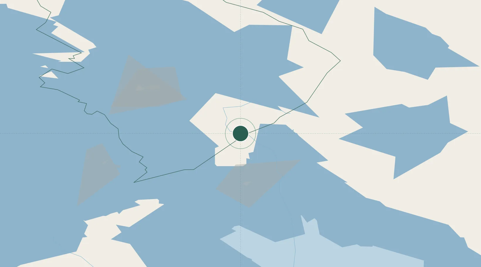
Location
Nearby Logistics Neighbours
Ports
- 1Vyborg192 km
- 2Gavan Vysotsk207 km
- 3Primorsk229 km
- 4Kronshtadt250 km
- 5Hamina256 km
Airports
- 1Kitee Airport28 km
- 2Joensuu Airport72 km
- 3Savonlinna Airport91 km
- 4Varkaus Airport142 km
- 5Kuopio Airport169 km
Trade Zones
DatabookThe Record of Consolidated Knowledge
Finland beyond logistics?