Medium airport · Finland
Kitee AirportEFIT
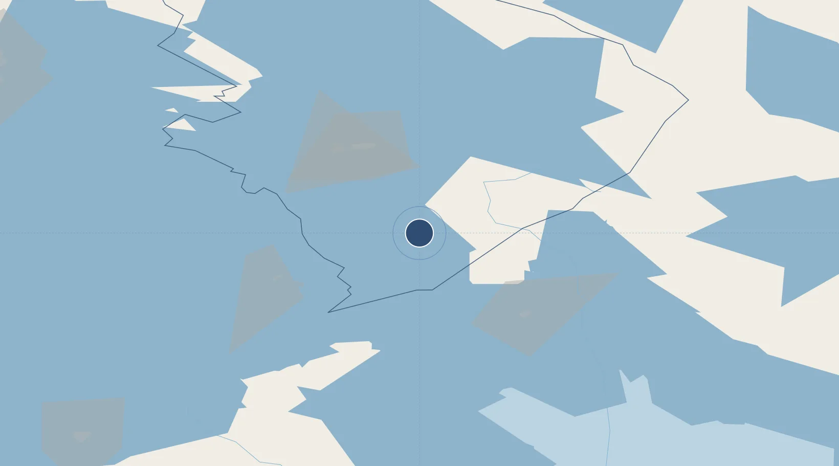
62.1661°, 30.0736°
4,921 ft
Longest runway
1
Runways
364 ft
Elevation
Runway & Layout

Radio Frequencies
RDO
123.45 MHz
Runways · 1
| Runway | Dimensions | Surface | True heading | Lit |
|---|---|---|---|---|
| 01/19 | 4,921 × 98ft | Asphalt | 019° | ✓ |
Airport Specifications
IATA code
KTQ
ICAO code
EFIT
Airport class
Medium airport
Scheduled service
No
Runway surface
Asphalt
Served city
Kitee
Location
Nearby Logistics Neighbours
Airports
- 1Joensuu Airport60 km
- 2Savonlinna Airport64 km
- 3Varkaus Airport115 km
- 4Kuopio Airport149 km
- 5Mikkeli Airport159 km
Ports
- 1Vyborg176 km
- 2Gavan Vysotsk190 km
- 3Primorsk214 km
- 4Hamina235 km
- 5Kronshtadt243 km
Trade Zones
DatabookThe Record of Consolidated Knowledge
Finland beyond logistics?