Transport Functions
Port
Hub Profile
Place type
Populated place
Region
North Karelia
Time zone
Europe/Helsinki
Elevation
87 m
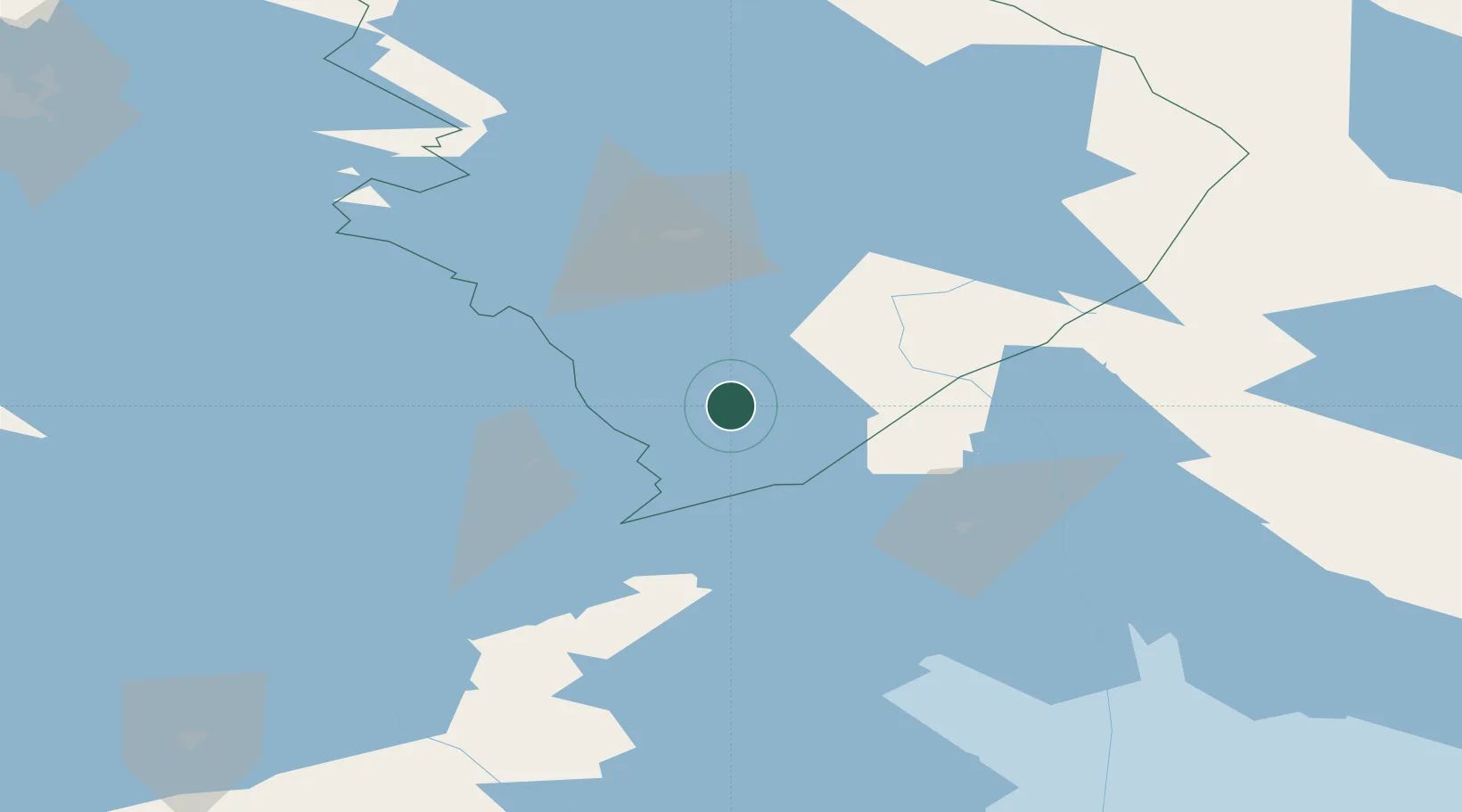
Location
Nearby Logistics Neighbours
Ports
- 1Vyborg166 km
- 2Gavan Vysotsk180 km
- 3Primorsk205 km
- 4Hamina224 km
- 5Kronshtadt236 km
Airports
- 1Kitee Airport11 km
- 2Savonlinna Airport54 km
- 3Joensuu Airport64 km
- 4Varkaus Airport107 km
- 5Kuopio Airport148 km
Trade Zones
DatabookThe Record of Consolidated Knowledge
Finland beyond logistics?