Transport Functions
Port
Airport
Hub Profile
Place type
District seat
Region
North Karelia
Population
9,483
Time zone
Europe/Helsinki
Elevation
66 m
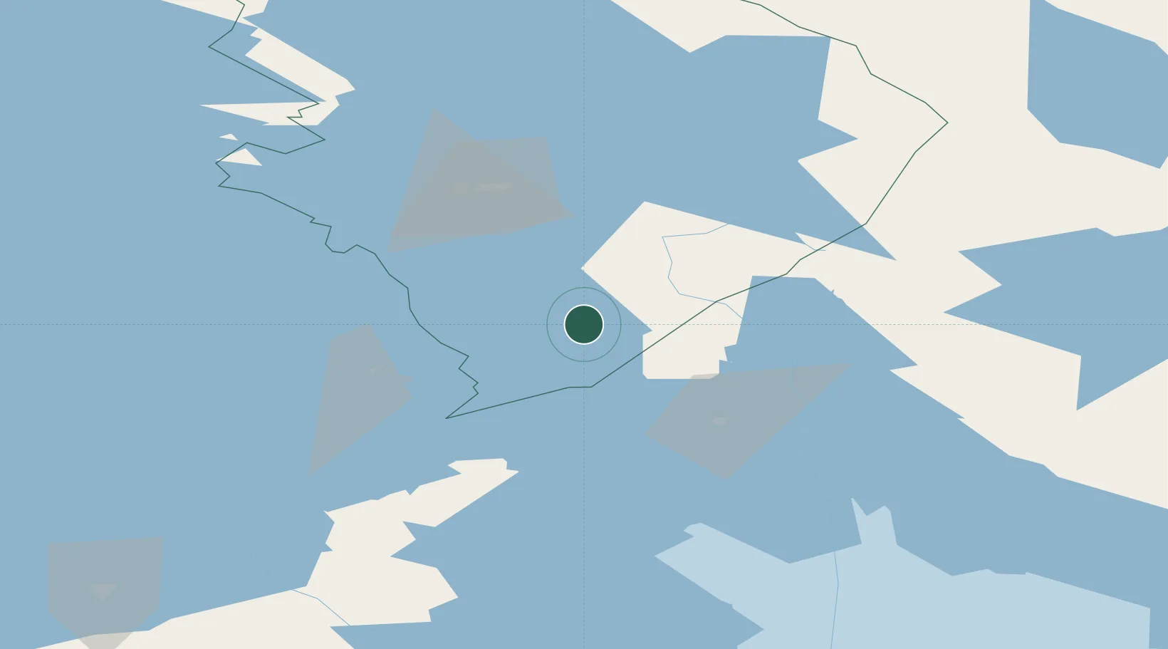
Location
Nearby Logistics Neighbours
Ports
- 1Vyborg170 km
- 2Gavan Vysotsk185 km
- 3Primorsk208 km
- 4Hamina231 km
- 5Kronshtadt236 km
Airports
- 1Kitee Airport8 km
- 2Savonlinna Airport64 km
- 3Joensuu Airport67 km
- 4Varkaus Airport117 km
- 5Kuopio Airport156 km
Trade Zones
DatabookThe Record of Consolidated Knowledge
Finland beyond logistics?