Transport Functions
Rail
Road
Airport
Multimodal
Postal
Hub Profile
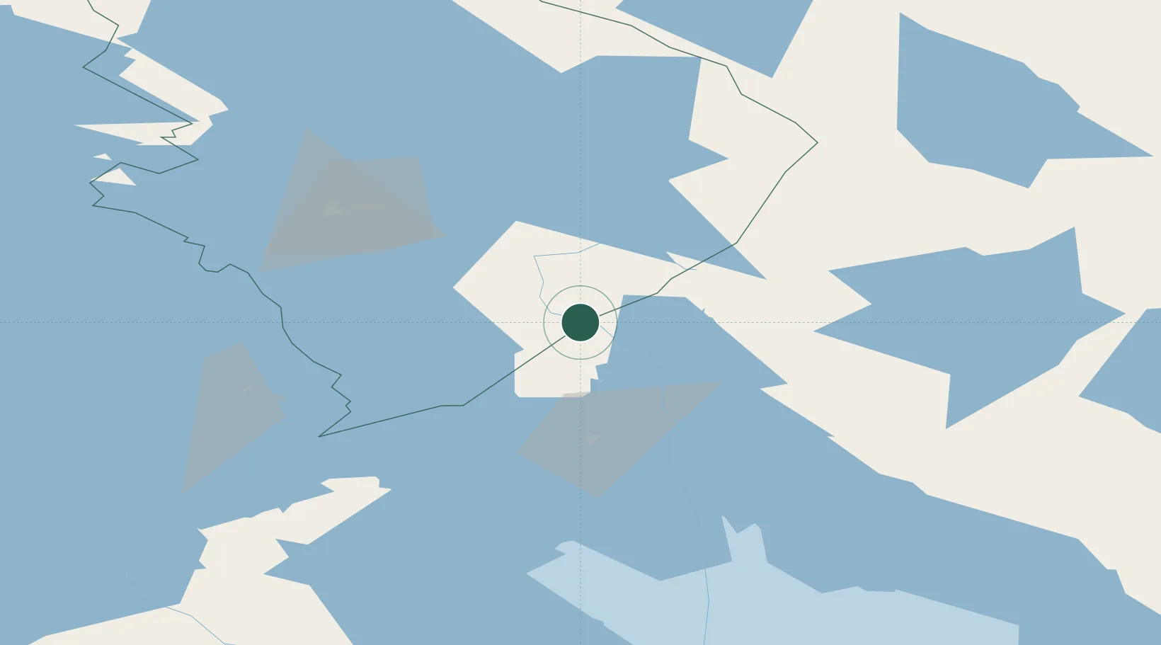
Place type
Populated place
Region
South Karelia
Time zone
Europe/Helsinki
Elevation
78 m
Location
Nearby Logistics Neighbours
Ports
- 1Vyborg191 km
- 2Gavan Vysotsk206 km
- 3Primorsk228 km
- 4Kronshtadt249 km
- 5Hamina256 km
Airports
- 1Kitee Airport28 km
- 2Joensuu Airport74 km
- 3Savonlinna Airport91 km
- 4Varkaus Airport143 km
- 5Kuopio Airport171 km
Trade Zones
DatabookThe Record of Consolidated Knowledge
Finland beyond logistics?