Transport Functions
Port
Rail
Road
Hub Profile
Place type
Populated place
Region
North Savo
Time zone
Europe/Helsinki
Elevation
152 m
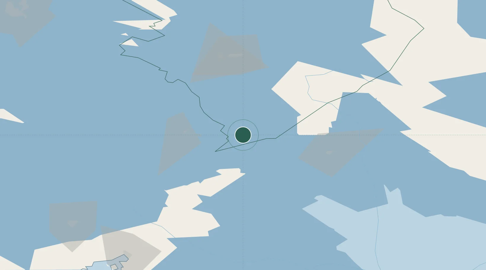
Location
Nearby Logistics Neighbours
Cities
- 1Puhos25 km
- 2Kitee28 km
- 3Särkisalmi37 km
- 4Parikkala41 km
- 5Nyslott (Savonlinna)49 km
Ports
- 1Vyborg142 km
- 2Gavan Vysotsk156 km
- 3Primorsk181 km
- 4Hamina203 km
- 5Kronshtadt211 km
Airports
- 1Kitee Airport34 km
- 2Savonlinna Airport47 km
- 3Joensuu Airport87 km
- 4Varkaus Airport107 km
- 5Lappeenranta Airport129 km
Trade Zones
- 1Free Zone of Lappeenranta131 km
- 2Port of Hamina-Kotka221 km
- 3St Petersburg Technology Innovative Special Economic Zone227 km
- 4Port of Sillamäe297 km
- 5Muuga Free Zone390 km
DatabookThe Record of Consolidated Knowledge
Finland beyond logistics?