Medium airport · Russia

Olyokminsk AirportUEMO
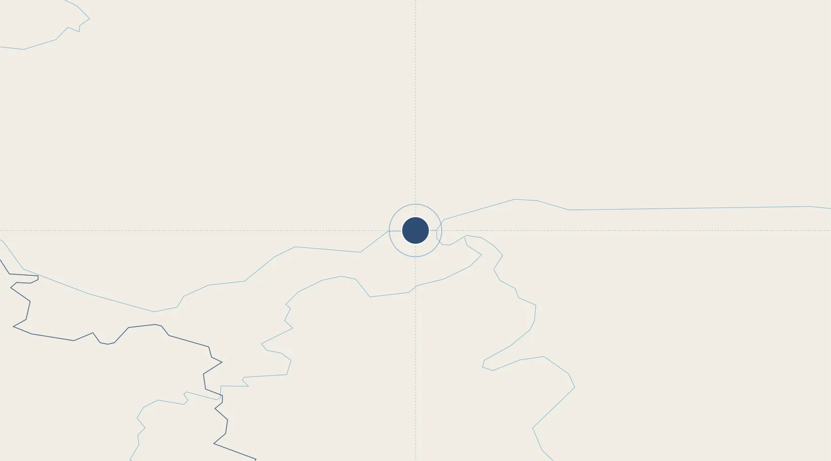
60.4018°, 120.4761°
4,265 ft
Longest runway
1
Runways
656 ft
Elevation

Runway & Layout

Olyokminsk Airport runway & taxiway layout
Runway & taxiway layout — OpenStreetMap (ODbL) / OurAirports

Runways · 1

RunwayDimensions SurfaceTrue headingLit
16/34 4,265 × —ft Asphalt
OurAirports

Airport Specifications

IATA code
OLZ
OurAirports
ICAO code
UEMO
OurAirports
Airport class
Medium airport
OurAirports
Scheduled service
Yes
OurAirports
Runway surface
Asphalt
OurAirports
Served city
Olyokminsk
OurAirports

Location

Location of UEMO
Natural Earth 10m (public domain) · Sakha (Yakutia) · UEMO · 60.40, 120.48GoogleOSMYandex

Nearby Logistics Neighbours

Airports
  1. 1Byas-Kyuyol Airport120 km
  2. 2Suntar Airport250 km
  3. 3Lensk Airport311 km
  4. 4Verkhnevilyuisk Airport340 km
  5. 5Vilyuisk Airport378 km
Nearest neighbours — logibook spatial index (haversine) over the source coordinates
Cities
  1. 1Olekminsk5 km
  2. 2Lensk305 km
  3. 3Vitim454 km
  4. 4Chuya467 km
  5. 5Oelsted499 km
Nearest neighbours — logibook spatial index (haversine) over the source coordinates
Ports
  1. 1Tiksi1304 km
  2. 2Nikolayevsk Na Amur1466 km
  3. 3Lazarev1574 km
  4. 4De Kastri1597 km
  5. 5Bukhta Vanino1776 km
Nearest neighbours — logibook spatial index (haversine) over the source coordinates
DatabookThe Record of Consolidated Knowledge
Russia beyond logistics?
Browse databook

All Sources

AirportsOurAirports
Public domain
Portsthe NGA World Port Index
Public domain (US gov)
LocationsUN/LOCODE
UN/LOCODE — free
Trade Zonesthe World Bank SEZ database
CC BY 4.0
Trade ZonesOpen Zone Map
CC BY
InfrastructureOpenStreetMap
ODbL 1.0
← Russia airports