Transport Functions
Port
Road
Hub Profile
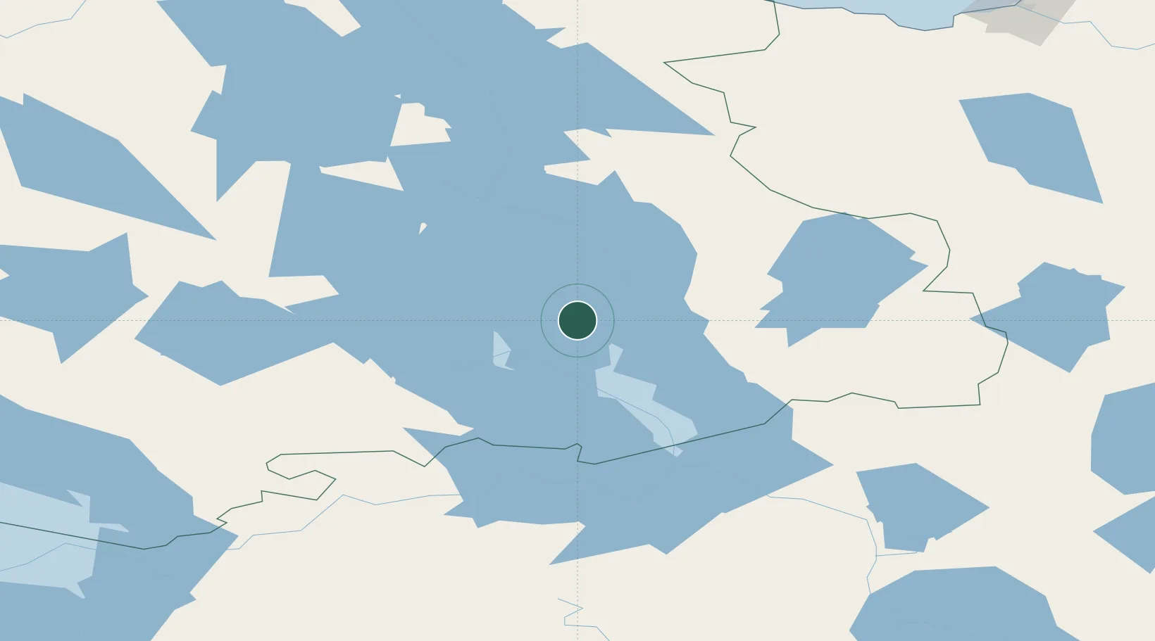
Place type
Populated place
Region
Karelia
Time zone
Europe/Moscow
Elevation
23 m
Location
Nearby Logistics Neighbours
Cities
- 1Kondopoga58 km
- 2Pitkyaranta209 km
- 3Uusikylä246 km
- 4Värtsilä247 km
- 5Kitee272 km
Ports
- 1Severodvinsk359 km
- 2Kronshtadt376 km
- 3Arkhangels'k380 km
- 4Vyborg380 km
- 5Lomonosov381 km
Airports
- 1Kizhi helipad7 km
- 2Peski Airfield59 km
- 3Petrozavodsk Airport64 km
- 4Pudozh69 km
- 5Kitee Airport274 km
Trade Zones
DatabookThe Record of Consolidated Knowledge
Russia beyond logistics?