Transport Functions
Port
Rail
Road
Hub Profile
Place type
Provincial seat
Region
Karelia
Population
34,360
Time zone
Europe/Moscow
Elevation
59 m
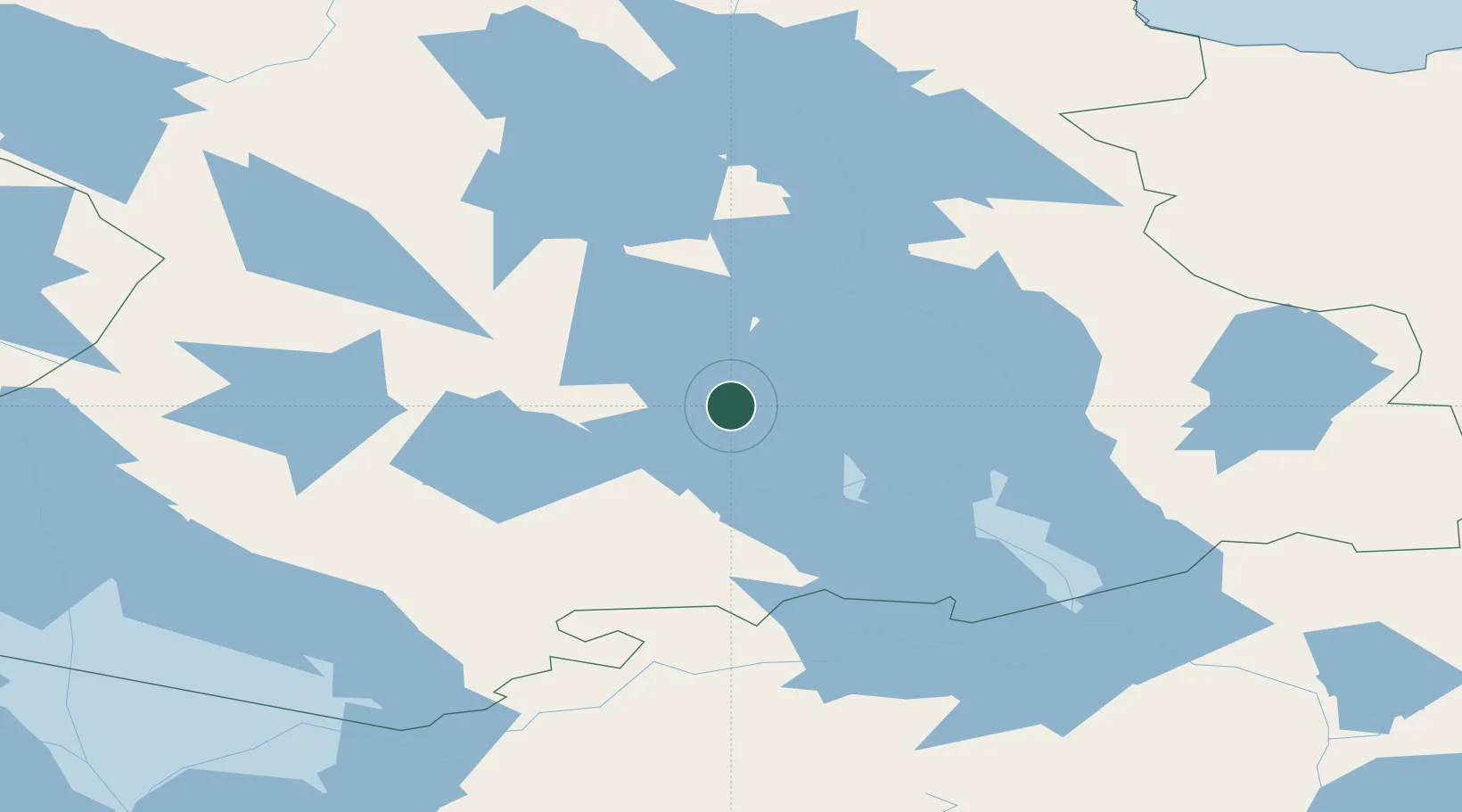
Location
Nearby Logistics Neighbours
Cities
- 1Oleniy Ostrov58 km
- 2Pitkyaranta163 km
- 3Uusikylä190 km
- 4Värtsilä191 km
- 5Kitee217 km
Ports
- 1Vyborg337 km
- 2Kronshtadt345 km
- 3Gavan Vysotsk351 km
- 4Lomonosov351 km
- 5Primorsk364 km
Airports
- 1Petrozavodsk Airport36 km
- 2Peski Airfield41 km
- 3Kizhi helipad51 km
- 4Pudozh127 km
- 5Kitee Airport218 km
Trade Zones
DatabookThe Record of Consolidated Knowledge
Russia beyond logistics?