Transport Functions
Port
Rail
Road
Multimodal
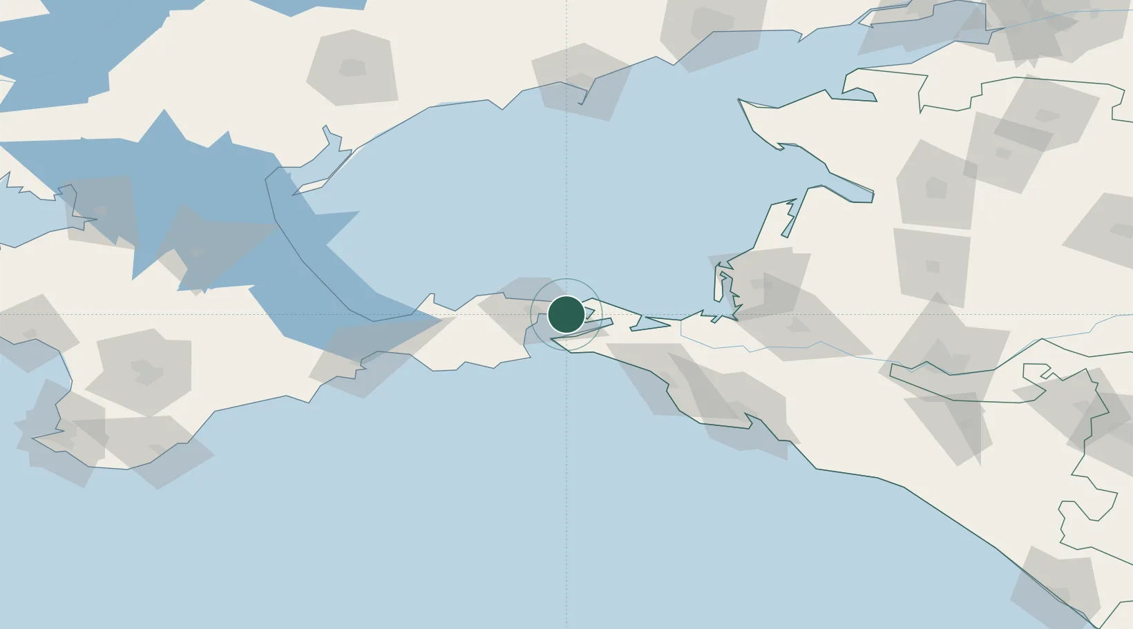
Hub Profile
Place type
Populated place
Region
Krasnodar Krai
Time zone
Europe/Moscow
Elevation
3 m
Logistics facilities
1
Location
Nearby Logistics Neighbours
Cities
- 1Taman'14 km
- 2Temryuk55 km
- 3Kirillovka104 km
- 4Cpc Terminal107 km
- 5Novorossiysk108 km
Ports
- 1Kerch15 km
- 2Temryuk53 km
- 3Anapa72 km
- 4Feodosiya104 km
- 5Novorossiysk112 km
Airports
- 1Anapa Vityazevo Airport65 km
- 2Krymsk Air Base112 km
- 3Kirovskoe Air Base118 km
- 4Gelendzhik Airport135 km
- 5Berdyansk Airport164 km
DatabookThe Record of Consolidated Knowledge
Russia beyond logistics?