Transport Functions
Port
Hub Profile
Place type
Populated place
Region
Krasnodar Krai
Population
9,417
Time zone
Europe/Moscow
Elevation
16 m
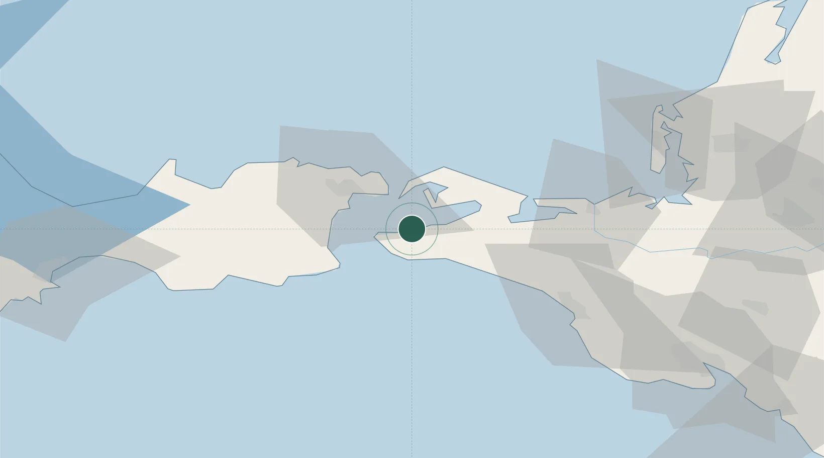
Location
Nearby Logistics Neighbours
Cities
- 1Kavkaz14 km
- 2Temryuk51 km
- 3Kirillovka93 km
- 4Cpc Terminal96 km
- 5Novorossiysk97 km
Ports
- 1Kavkaz Oil Terminal14 km
- 2Kerch24 km
- 3Temryuk52 km
- 4Anapa60 km
- 5Novorossiysk101 km
Airports
- 1Anapa Vityazevo Airport55 km
- 2Krymsk Air Base105 km
- 3Kirovskoe Air Base120 km
- 4Gelendzhik Airport124 km
- 5Krasnodar Central Air Base175 km
DatabookThe Record of Consolidated Knowledge
Russia beyond logistics?