UN/LOCODE hub · Russia
RUNVS
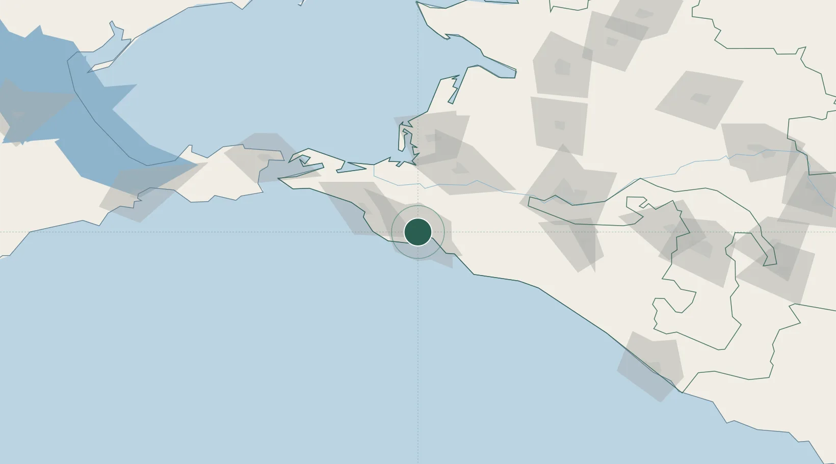
Novorossiysk
44.7422°, 37.7496°
241,856
Population
4
Transport functions
1
Container terminals
Transport Functions
Port
Rail
Road
Multimodal
Hub Profile
Place type
Provincial seat
Region
Krasnodar Krai
Population
241,856
Time zone
Europe/Moscow
Elevation
8 m
Logistics facilities
28
Container terminals
1
Location
Nearby Logistics Neighbours
Cities
- 1Kirillovka4 km
- 2Myskhako7 km
- 3Cpc Terminal12 km
- 4Krymsk26 km
- 5Abinsk35 km
Ports
- 1Gelendzhik33 km
- 2Anapa38 km
- 3Temryuk75 km
- 4Kavkaz Oil Terminal109 km
- 5Kerch120 km
Airports
- 1Gelendzhik Airport27 km
- 2Krymsk Air Base31 km
- 3Anapa Vityazevo Airport43 km
- 4Krasnodar Central Air Base101 km
- 5Krasnodar Pashkovsky International Airport117 km
Trade Zones
- 1Azov Economic Zone261 km
- 2Special Economic Zone Donetsk361 km
- 3Samsun Free Zone399 km
- 4Samsun Merkez Organized Industrial Zone404 km
- 5Kulevi Free Industrial Zone417 km
DatabookThe Record of Consolidated Knowledge
Russia beyond logistics?