Seaport · Russia
NovorossiyskRUNVS
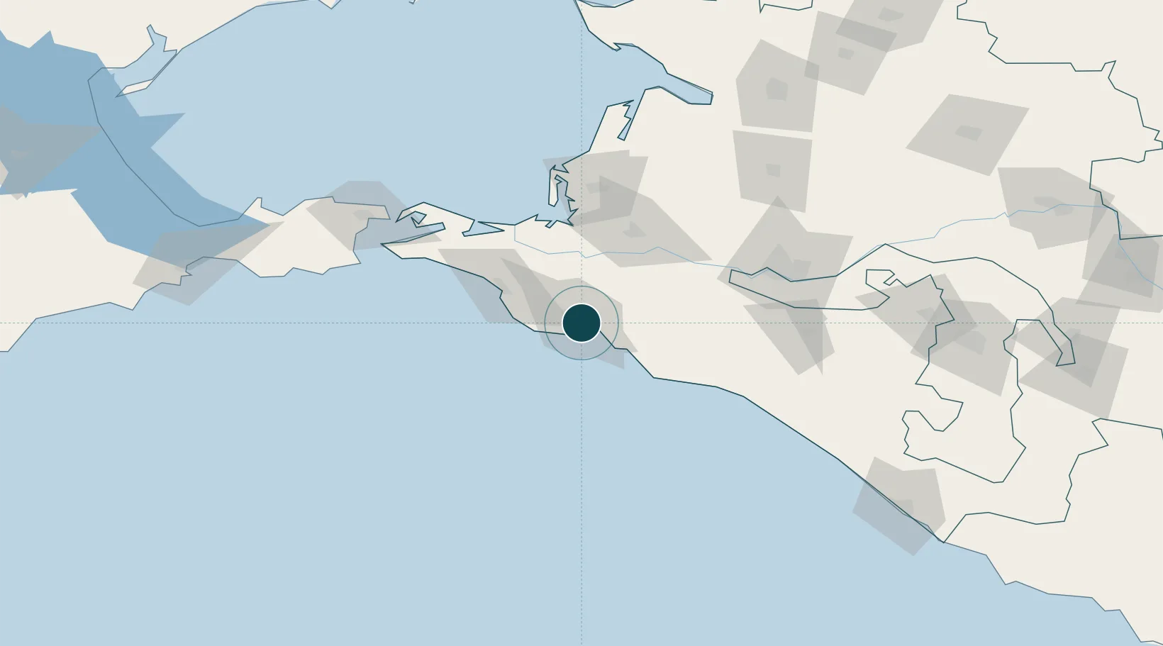
44.7167°, 37.7833°
12.5 m
Channel depth
1
Container terminals
126.3
Port liner connectivity
Channel & Berth Profile
Pilotage, Tugs & Services
Pilotage compulsoryYES
Pilotage availableYES
Pilotage advisableYES
Tug assistanceYES
Salvage tugsYES
Shore powerYES
Potable waterYES
Diesel bunkersYES
MedicalYES
Garbage disposalYES
Facilities & Capabilities
Container—
Ro-Ro—
Liquid bulk—
Dry bulk—
Oil terminal—
Break bulk—
Dry dockNO
RepairsNO
BunkeringYES
Rail linkYES
Dangerous cargo—
ISPS security—
Harbour Specifications
Harbour size
Large
Harbour type
Coastal (Breakwater)
Shelter
Good
Water body
Black Sea; North Atlantic Ocean
Tidal range
1 m
Pilotage
Yes
Liner Connectivity
126.3
PLSCI
Port Liner Shipping Connectivity Index for Novorossiysk, as published by UNCTAD for the latest available quarter. Higher values indicate stronger scheduled liner-shipping integration.
Shown relative to the highest per-port PLSCI in the dataset (1,657.9).
Location
Container Terminals · 1
NUTEP CONTAINER TERMINAL
NUTEP DELOPORTS
Nearby Logistics Neighbours
Ports
- 1Gelendzhik29 km
- 2Anapa41 km
- 3Temryuk78 km
- 4Kavkaz Oil Terminal112 km
- 5Tuapse123 km
Cities
- 1Myskhako5 km
- 2Kirillovka8 km
- 3Cpc Terminal12 km
- 4Krymsk27 km
- 5Abinsk33 km
Airports
- 1Gelendzhik Airport24 km
- 2Krymsk Air Base32 km
- 3Anapa Vityazevo Airport47 km
- 4Krasnodar Central Air Base100 km
- 5Krasnodar Pashkovsky International Airport115 km
Trade Zones
- 1Azov Economic Zone264 km
- 2Special Economic Zone Donetsk364 km
- 3Samsun Free Zone397 km
- 4Samsun Merkez Organized Industrial Zone402 km
- 5Kulevi Free Industrial Zone413 km
DatabookThe Record of Consolidated Knowledge
Russia beyond logistics?