Transport Functions
Multimodal
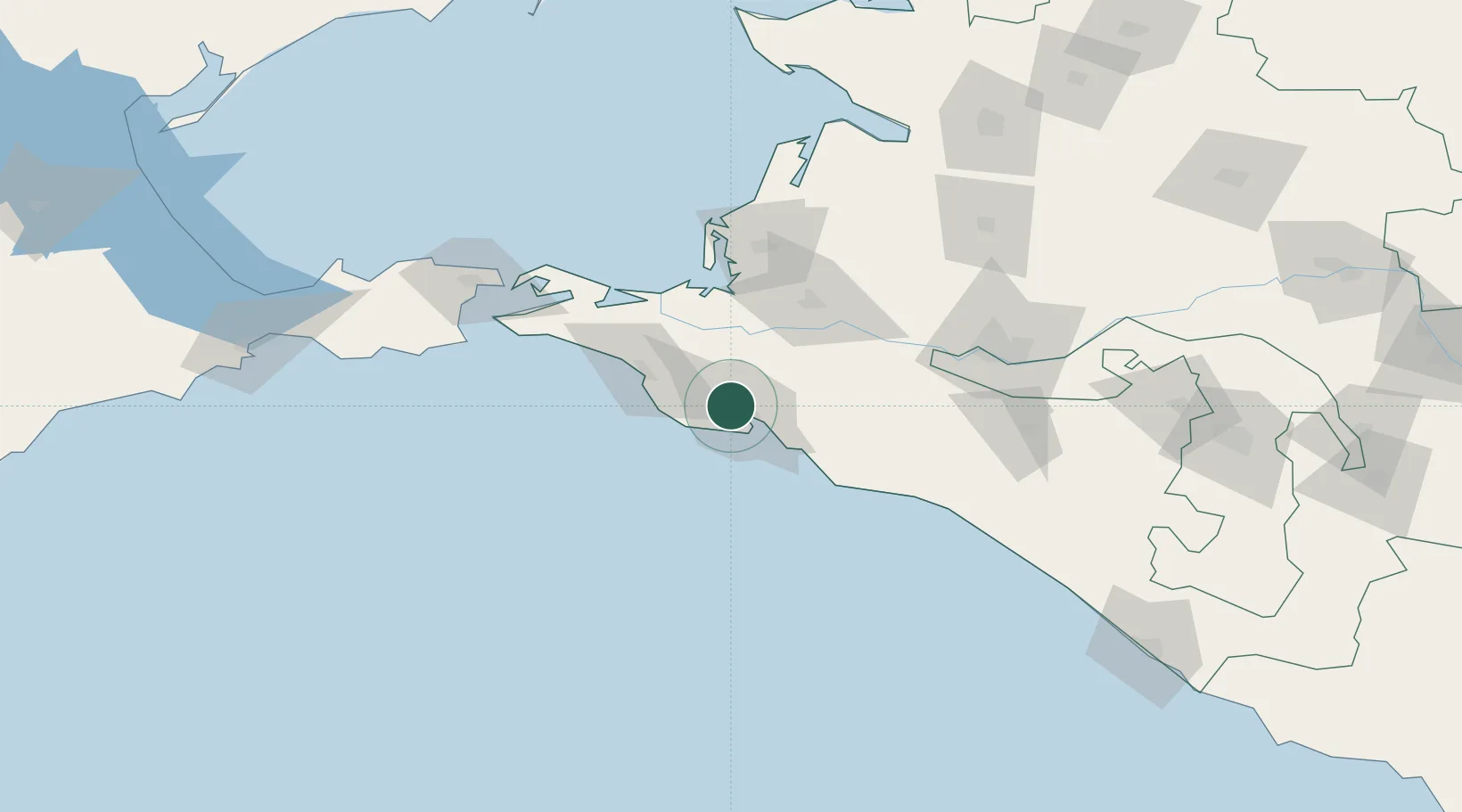
Hub Profile
Place type
Populated place
Region
Krasnodar Krai
Time zone
Europe/Moscow
Elevation
70 m
Location
Nearby Logistics Neighbours
Cities
- 1Novorossiysk4 km
- 2Myskhako10 km
- 3Cpc Terminal12 km
- 4Krymsk26 km
- 5Abinsk36 km
Ports
- 1Novorossiysk8 km
- 2Anapa34 km
- 3Gelendzhik37 km
- 4Temryuk71 km
- 5Kavkaz Oil Terminal105 km
Airports
- 1Gelendzhik Airport31 km
- 2Krymsk Air Base31 km
- 3Anapa Vityazevo Airport39 km
- 4Krasnodar Central Air Base103 km
- 5Krasnodar Pashkovsky International Airport119 km
Trade Zones
- 1Azov Economic Zone258 km
- 2Special Economic Zone Donetsk359 km
- 3Samsun Free Zone401 km
- 4Samsun Merkez Organized Industrial Zone406 km
- 5Kulevi Free Industrial Zone421 km
DatabookThe Record of Consolidated Knowledge
Russia beyond logistics?