Medium airport · Russia
Gelendzhik AirportURKG
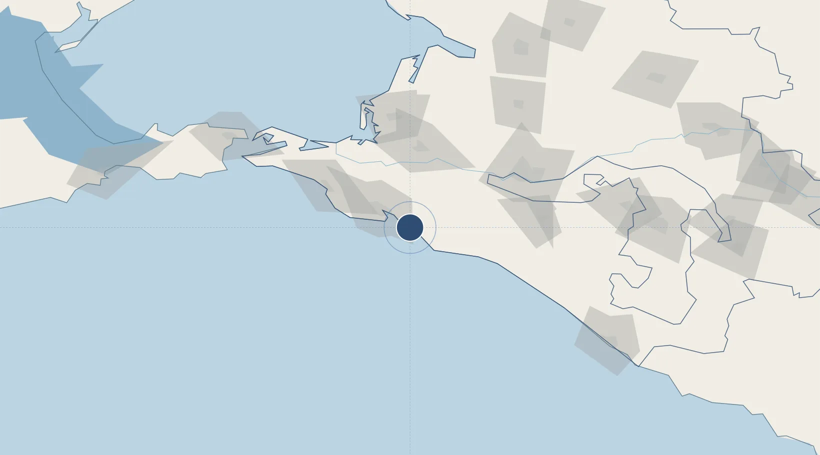
44.5821°, 38.0125°
10,171 ft
Longest runway
1
Runways
98 ft
Elevation
Runway & Layout

Runways · 1
| Runway | Dimensions | Surface | True heading | Lit |
|---|---|---|---|---|
| 01/19 | 10,171 × 148ft | CONC | 014° | ✓ |
Airport Specifications
IATA code
GDZ
ICAO code
URKG
Airport class
Medium airport
Scheduled service
Yes
Runway surface
CONC
Served city
Gelendzhik
Location
Nearby Logistics Neighbours
Airports
- 1Krymsk Air Base42 km
- 2Anapa Vityazevo Airport70 km
- 3Krasnodar Central Air Base92 km
- 4Krasnodar Pashkovsky International Airport105 km
- 5Khanskaya Air Base160 km
Cities
- 1Myskhako24 km
- 2Novorossiysk27 km
- 3Cpc Terminal30 km
- 4Kirillovka31 km
- 5Abinsk34 km
Ports
- 1Gelendzhik6 km
- 2Novorossiysk24 km
- 3Anapa64 km
- 4Tuapse100 km
- 5Temryuk100 km
Trade Zones
- 1Azov Economic Zone281 km
- 2Special Economic Zone Donetsk380 km
- 3Samsun Free Zone389 km
- 4Kulevi Free Industrial Zone390 km
- 5Samsun Merkez Organized Industrial Zone393 km
DatabookThe Record of Consolidated Knowledge
Russia beyond logistics?