Transport Functions
Rail
Road
Hub Profile
Place type
Provincial seat
Region
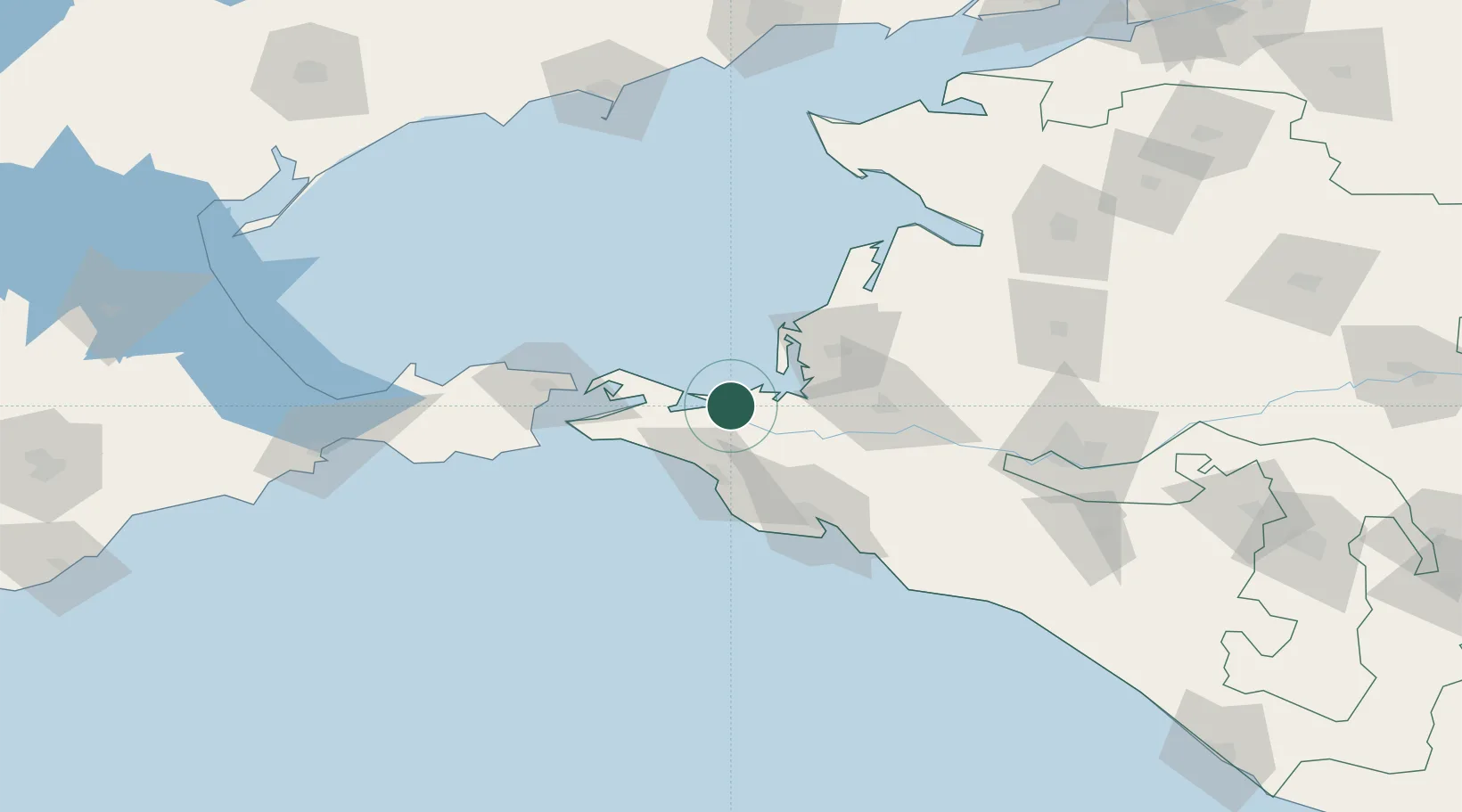
Krasnodar Krai
Population
36,546
Time zone
Europe/Moscow
Elevation
24 m
Location
Nearby Logistics Neighbours
Cities
- 1Taman'51 km
- 2Kavkaz55 km
- 3Krymsk61 km
- 4Kirillovka62 km
- 5Novorossiysk66 km
Ports
- 1Anapa43 km
- 2Kavkaz Oil Terminal57 km
- 3Novorossiysk69 km
- 4Kerch70 km
- 5Gelendzhik97 km
Airports
- 1Anapa Vityazevo Airport30 km
- 2Krymsk Air Base60 km
- 3Gelendzhik Airport92 km
- 4Krasnodar Central Air Base125 km
- 5Krasnodar Pashkovsky International Airport144 km
Trade Zones
DatabookThe Record of Consolidated Knowledge
Russia beyond logistics?