Runway & Layout

Airport Specifications
Airport class
Medium airport
Scheduled service
No
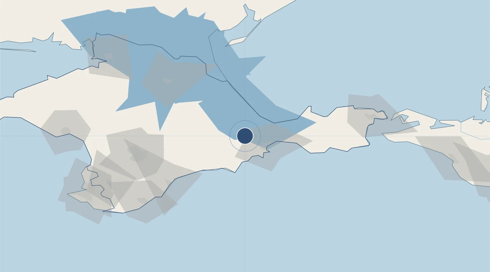
Served city
Kirovskoe
Location
Nearby Logistics Neighbours
Airports
- 1Dzhankoy Air Base84 km
- 2Oktyabrskoe Air Base87 km
- 3Gvardeyskoye (Hvardiiske) Air Base95 km
- 4Simferopol International Airport96 km
- 5Saky Air Base125 km
Cities
- 1Dzhankoy87 km
- 2Bakhchysarai115 km
- 3Kavkaz118 km
- 4Taman'120 km
- 5Armyansk157 km
Ports
- 1Feodosiya26 km
- 2Kerch104 km
- 3Yalta111 km
- 4Kavkaz Oil Terminal116 km
- 5Yevpatoriya141 km
DatabookThe Record of Consolidated Knowledge
Ukraine beyond logistics?