Transport Functions
Rail
Road
Hub Profile
Place type
Provincial seat
Region
Caraș-Severin County
Population
12,332
Time zone
Europe/Bucharest
Elevation
213 m
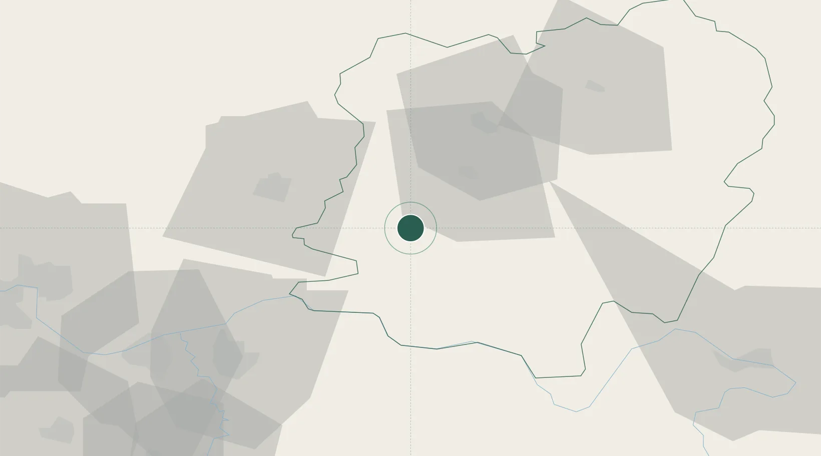
Location
Nearby Logistics Neighbours
Cities
- 1Moldova Noua32 km
- 2Vrsac32 km
- 3Veliko Gradiste33 km
- 4Bazias34 km
- 5Stamora Germana45 km
Airports
Trade Zones
- 1Smederevo Free Zone71 km
- 2Svilajnac Free Zone93 km
- 3VGP Park Timisoara95 km
- 4Beograd Free Zone97 km
- 5Zrenjanin Free Zone109 km
DatabookThe Record of Consolidated Knowledge
Romania beyond logistics?