Transport Functions
Rail
Road
Hub Profile
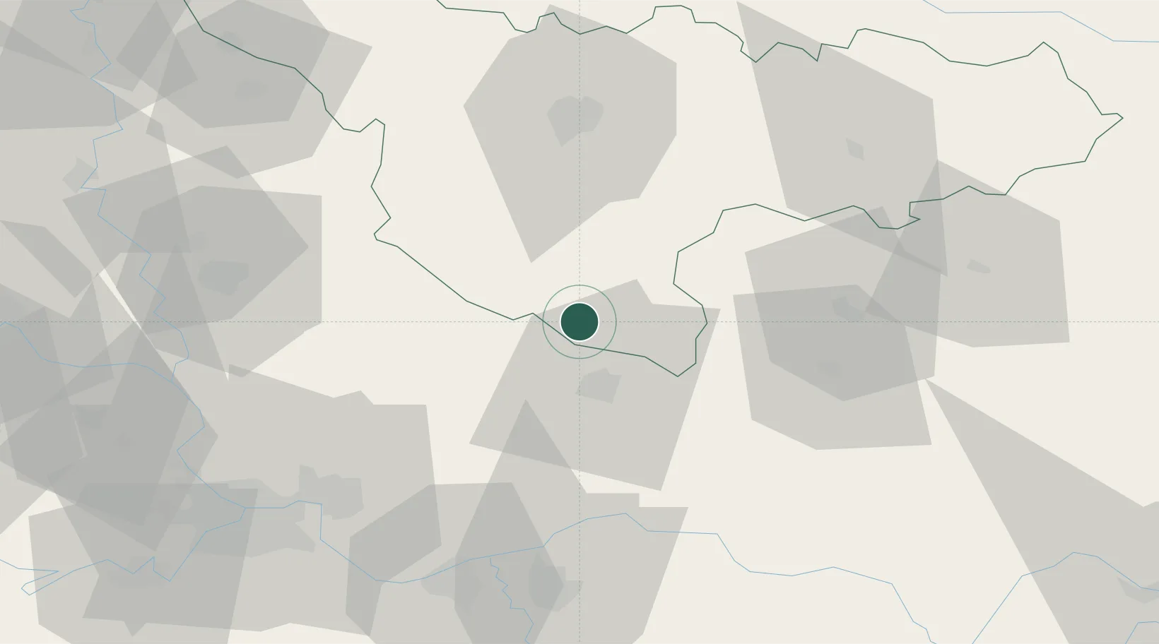
Place type
Populated place
Region
Timiș County
Population
913
Time zone
Europe/Bucharest
Elevation
91 m
Location
Nearby Logistics Neighbours
Cities
- 1Vrsac19 km
- 2Voiteg20 km
- 3Banatski Karlovac34 km
- 4Parta40 km
- 5Vladimirovac41 km
Airports
Trade Zones
- 1VGP Park Timisoara57 km
- 2Zrenjanin Free Zone69 km
- 3Smederevo Free Zone73 km
- 4Beograd Free Zone79 km
- 5VGP Park Arad99 km
DatabookThe Record of Consolidated Knowledge
Romania beyond logistics?