Transport Functions
Multimodal
Hub Profile
Place type
Populated place
Region
Central Serbia
Time zone
Europe/Belgrade
Elevation
485 m
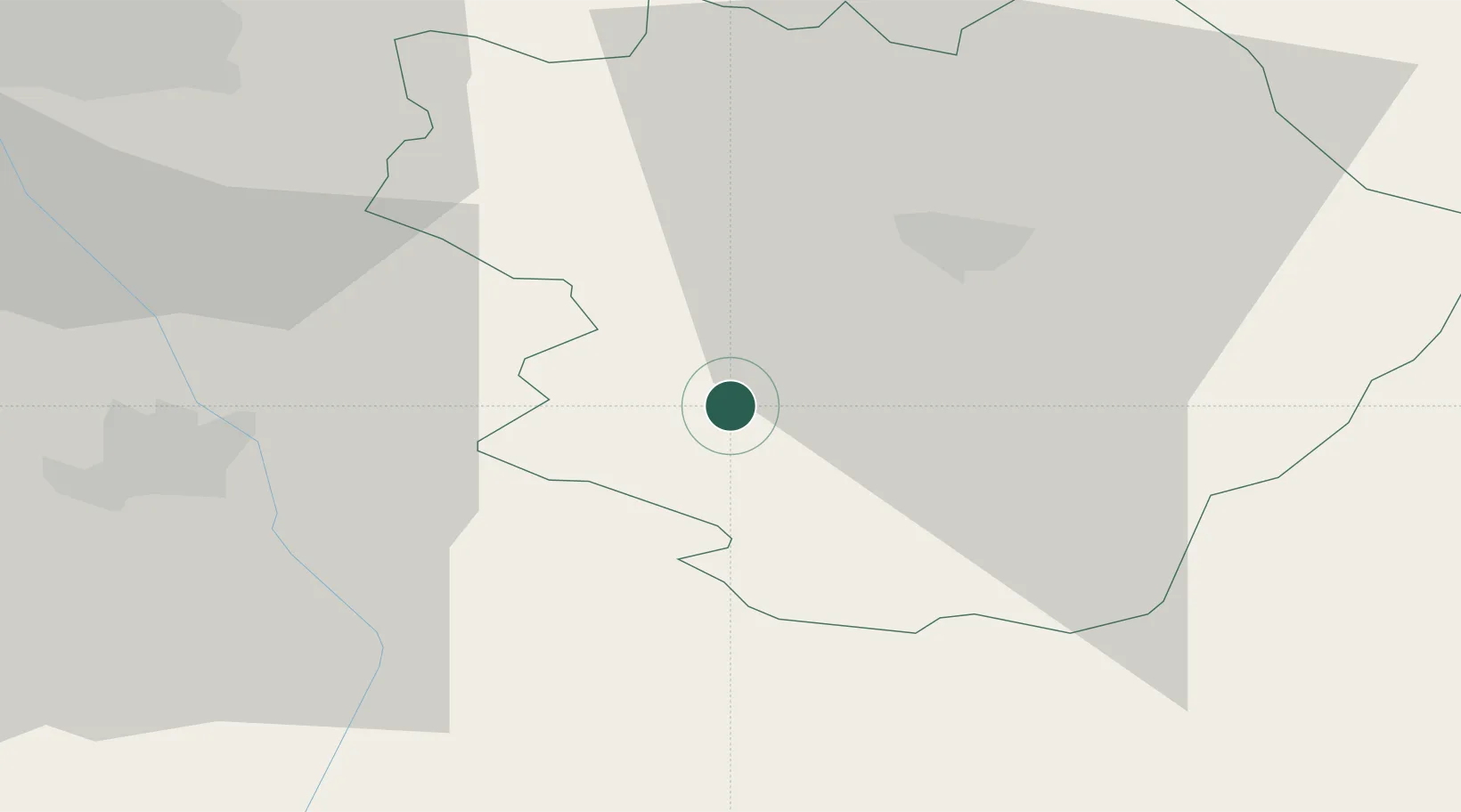
Location
Nearby Logistics Neighbours
Cities
- 1Pirot19 km
- 2Dimitrovgrad30 km
- 3Bankya31 km
- 4Leskovac37 km
- 5Nis55 km
Ports
- 1Shengjin268 km
- 2Thessaloniki272 km
- 3Kavala288 km
- 4Bar292 km
- 5Kotor305 km
Airports
- 1Niš Constantine the Great Airport54 km
- 2Sofia Airport92 km
- 3Priština Adem Jashari International Airport123 km
- 4Skopje International Airport137 km
- 5Morava Airport170 km
Trade Zones
- 1Pirot Free Zone20 km
- 2Dragoman Free Economic Zone46 km
- 3Vidin Free Trade Zone61 km
- 4Vranje Free Zone69 km
- 5TIDZ Rankovce98 km
DatabookThe Record of Consolidated Knowledge
Serbia beyond logistics?