Transport Functions
Rail
Road
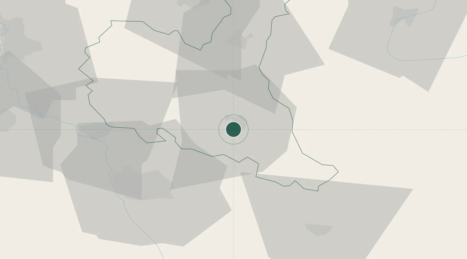
Hub Profile
Place type
District seat
Region
Central Serbia
Population
25,000
Time zone
Europe/Belgrade
Elevation
217 m
Location
Nearby Logistics Neighbours
Airports
- 1Niš Constantine the Great Airport41 km
- 2Sofia Airport135 km
- 3Morava Airport137 km
- 4Priština Adem Jashari International Airport148 km
- 5Craiova International Airport156 km
Trade Zones
- 1Vidin Free Trade Zone22 km
- 2Pirot Free Zone51 km
- 3Kruševac Free Zone72 km
- 4Dragoman Free Economic Zone91 km
- 5Svilajnac Free Zone114 km
DatabookThe Record of Consolidated Knowledge
Serbia beyond logistics?