Transport Functions
Rail
Road
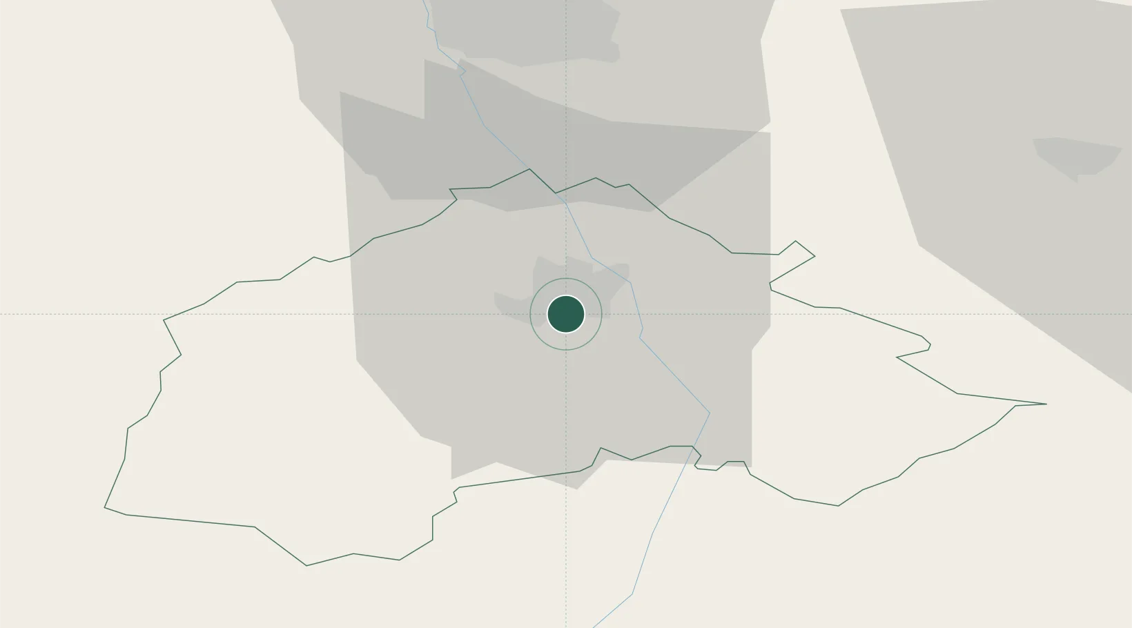
Hub Profile
Place type
Provincial seat
Region
Central Serbia
Population
94,758
Time zone
Europe/Belgrade
Elevation
230 m
Location
Nearby Logistics Neighbours
Airports
- 1Niš Constantine the Great Airport40 km
- 2Priština Adem Jashari International Airport88 km
- 3Skopje International Airport117 km
- 4Sofia Airport124 km
- 5Morava Airport144 km
Trade Zones
- 1Vranje Free Zone49 km
- 2Pirot Free Zone55 km
- 3Business Park in Vushtrri78 km
- 4Dragoman Free Economic Zone80 km
- 5Kruševac Free Zone81 km
DatabookThe Record of Consolidated Knowledge
Serbia beyond logistics?