UN/LOCODE hub · Serbia
RSINI

Nis

43.3314°, 21.8403°
250,000
Population
3
Transport functions

Transport Functions

Rail
Road
Airport
UN/LOCODE

Hub Profile

Place type
Provincial seat
GeoNames
Region
Central Serbia
GeoNames
Population
250,000
GeoNames
Time zone
Europe/Belgrade
GeoNames
Elevation
194 m
GeoNames
Logistics facilities
1
UN/LOCODE

Location

Location of RSINI
Natural Earth 10m (public domain) · Central Serbia · RSINI · 43.33, 21.84GoogleOSMYandex

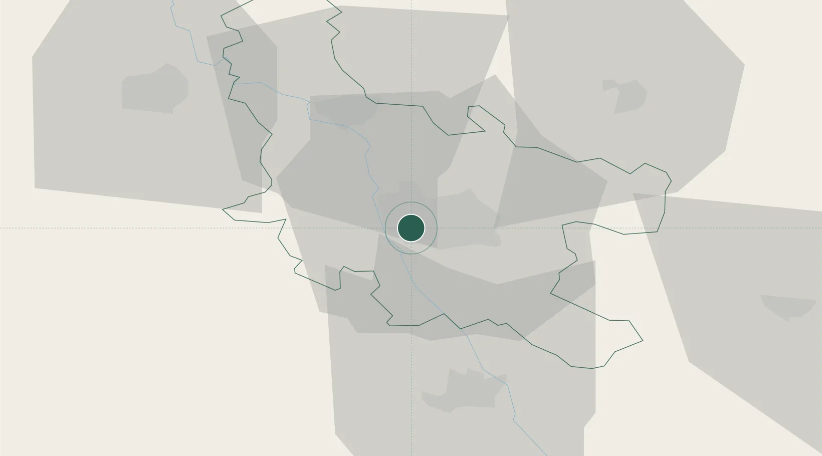
Nearby Logistics Neighbours

Cities
  1. 1Prokuplje24 km
  2. 2Leskovac40 km
  3. 3Knjazevac42 km
  4. 4Krusevac49 km
  5. 5Kursumlija51 km
Nearest neighbours — logibook spatial index (haversine) over the source coordinates
Ports
  1. 1Shengjin249 km
  2. 2Bar265 km
  3. 3Kotor270 km
  4. 4Risan271 km
  5. 5Tivat275 km
Nearest neighbours — logibook spatial index (haversine) over the source coordinates
Airports
  1. 1Niš Constantine the Great Airport1 km
  2. 2Priština Adem Jashari International Airport107 km
  3. 3Morava Airport115 km
  4. 4Sofia Airport146 km
  5. 5Skopje International Airport154 km
Nearest neighbours — logibook spatial index (haversine) over the source coordinates
Trade Zones
  1. 1Kruševac Free Zone47 km
  2. 2Vidin Free Trade Zone62 km
  3. 3Pirot Free Zone62 km
  4. 4Vranje Free Zone88 km
  5. 5Business Park in Vushtrri90 km
Nearest neighbours — logibook spatial index (haversine) over the source coordinates
DatabookThe Record of Consolidated Knowledge
Serbia beyond logistics?
Browse databook

All Sources

LocationsUN/LOCODE
UN/LOCODE — free
LocationsGeoNames
CC BY 4.0
Portsthe NGA World Port Index
Public domain (US gov)
AirportsOurAirports
Public domain
Trade Zonesthe World Bank SEZ database
CC BY 4.0
Trade ZonesOpen Zone Map
CC BY
← Serbia locations