UN/LOCODE hub · Romania
ROZIC

Zimnicea

43.6500°, 25.3500°
15,228
Population
2
Transport functions

Transport Functions

Port
Border Crossing
UN/LOCODE

Hub Profile

Place type
Provincial seat
GeoNames
Region
Teleorman County
GeoNames
Population
15,228
GeoNames
Time zone
Europe/Bucharest
GeoNames
Elevation
35 m
GeoNames

Location

Location of ROZIC
Natural Earth 10m (public domain) · Teleorman County · ROZIC · 43.65, 25.35GoogleOSMYandex

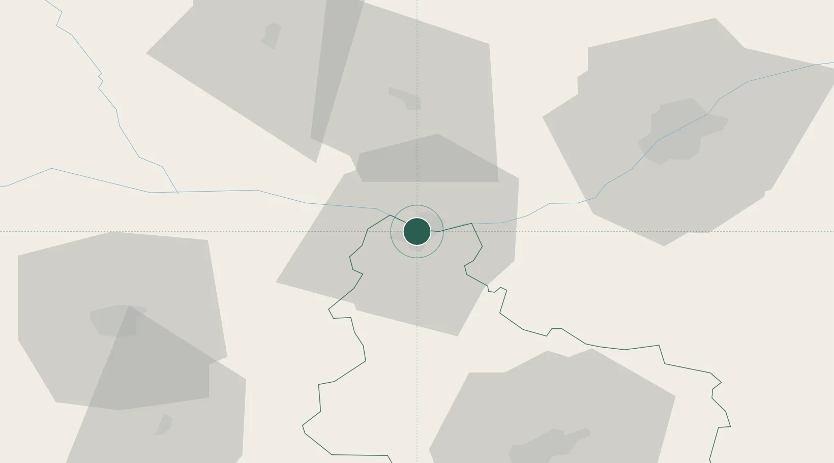
Nearby Logistics Neighbours

Cities
  1. 1Svishtov4 km
  2. 2Vardim4 km
  3. 3Belene19 km
  4. 4Calomfiresti30 km
  5. 5Alexandria37 km
Nearest neighbours — logibook spatial index (haversine) over the source coordinates
Ports
  1. 1Burgas217 km
  2. 2Varna218 km
  3. 3Braila275 km
  4. 4Lagos295 km
  5. 5Kavala312 km
Nearest neighbours — logibook spatial index (haversine) over the source coordinates
Airports
  1. 1Gorna Oryahovitsa Airport63 km
  2. 2Dolna Mitropoliya Air Base72 km
  3. 3Bucharest Băneasa Aurel Vlaicu International Airport112 km
  4. 4Bucharest Henri Coandă International Airport119 km
  5. 5Craiova International Airport139 km
Nearest neighbours — logibook spatial index (haversine) over the source coordinates
Trade Zones
  1. 1Free Zone Giurgiu56 km
  2. 2Rousse Free Zone60 km
  3. 3VGP Park Buharest North104 km
  4. 4Maritsa Industrial and Commercial Zone168 km
  5. 5Trakia Economic Zone173 km
Nearest neighbours — logibook spatial index (haversine) over the source coordinates
DatabookThe Record of Consolidated Knowledge
Romania beyond logistics?
Browse databook

All Sources

LocationsUN/LOCODE
UN/LOCODE — free
LocationsGeoNames
CC BY 4.0
Portsthe NGA World Port Index
Public domain (US gov)
AirportsOurAirports
Public domain
Trade Zonesthe World Bank SEZ database
CC BY 4.0
Trade ZonesOpen Zone Map
CC BY
← Romania locations