Transport Functions
Multimodal
Hub Profile
Place type
Populated place
Region
Veliko Tarnovo
Population
30,157
Time zone
Europe/Sofia
Elevation
74 m
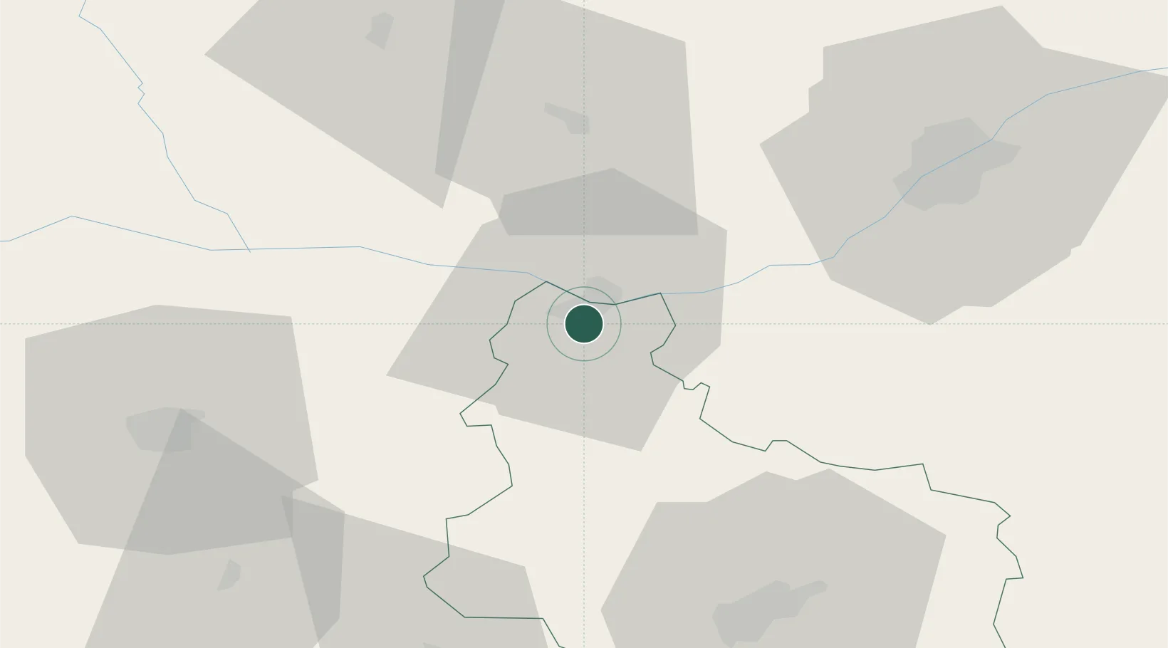
Location
Nearby Logistics Neighbours
Cities
- 1Vardim0 km
- 2Zimnicea4 km
- 3Belene19 km
- 4Calomfiresti33 km
- 5Nikopol38 km
Airports
Trade Zones
- 1Free Zone Giurgiu58 km
- 2Rousse Free Zone62 km
- 3VGP Park Buharest North107 km
- 4Maritsa Industrial and Commercial Zone165 km
- 5Trakia Economic Zone170 km
DatabookThe Record of Consolidated Knowledge
Bulgaria beyond logistics?