Large airport · Romania

Bucharest Băneasa Aurel Vlaicu International AirportLRBS
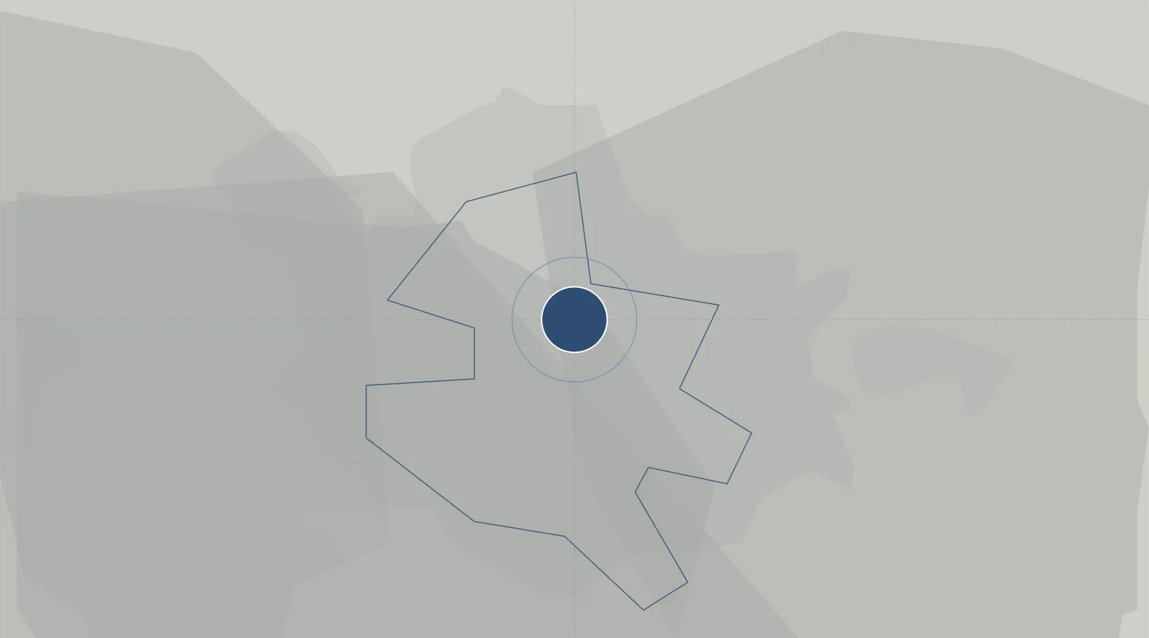
44.5031°, 26.1029°
10,499 ft
Longest runway
1
Runways
297 ft
Elevation

Runway & Layout

Bucharest Băneasa Aurel Vlaicu International Airport runway & taxiway layout
Runway & taxiway layout — OpenStreetMap (ODbL) / OurAirports

Radio Frequencies

TWR
120.8 MHz
GND
129.95 MHz
APP
118.25 MHz
GCA
125.2 MHz
PRECISION
OurAirports

Navaids

BSE NDB Baneasa Southeast 256 kHz
BSW NDB Baneasa Southwest 521 kHz
OurAirports

Runways · 1

RunwayDimensions SurfaceTrue headingLit
07/25 10,499 × 148ft Concrete 074°
OurAirports

Airport Specifications

IATA code
BBU
OurAirports
ICAO code
LRBS
OurAirports
Airport class
Large airport
OurAirports
Scheduled service
Yes
OurAirports
Runway surface
Concrete
OurAirports
Served city
Bucharest
OurAirports

Location

Location of LRBS
Natural Earth 10m (public domain) · Bucharest · LRBS · 44.50, 26.10GoogleOSMYandex

Nearby Logistics Neighbours

Airports
  1. 1Bucharest Henri Coandă International Airport8 km
  2. 2Boboc Air Base105 km
  3. 3Feteşti Borcea Air Base130 km
  4. 4Brașov-Ghimbav International Airport141 km
  5. 5Gorna Oryahovitsa Airport154 km
Nearest neighbours — logibook spatial index (haversine) over the source coordinates
Cities
  1. 1Tunari6 km
  2. 2Stefanestii de Jos8 km
  3. 3Bucuresti9 km
  4. 4Chitila11 km
  5. 5Chiajna12 km
Nearest neighbours — logibook spatial index (haversine) over the source coordinates
Ports
  1. 1Cernavoda156 km
  2. 2Braila170 km
  3. 3Medgidia174 km
  4. 4Galati186 km
  5. 5Basarabi189 km
Nearest neighbours — logibook spatial index (haversine) over the source coordinates
Trade Zones
  1. 1VGP Park Buharest North12 km
  2. 2Free Zone Giurgiu69 km
  3. 3Rousse Free Zone69 km
  4. 4Free Zone Galați123 km
  5. 5VGP Park Brasov136 km
Nearest neighbours — logibook spatial index (haversine) over the source coordinates
DatabookThe Record of Consolidated Knowledge
Romania beyond logistics?
Browse databook

All Sources

AirportsOurAirports
Public domain
Portsthe NGA World Port Index
Public domain (US gov)
LocationsUN/LOCODE
UN/LOCODE — free
Trade Zonesthe World Bank SEZ database
CC BY 4.0
Trade ZonesOpen Zone Map
CC BY
InfrastructureOpenStreetMap
ODbL 1.0
← Romania airports