Transport Functions
Multimodal
Hub Profile
Place type
Populated place
Region
Teleorman County
Population
1,218
Time zone
Europe/Bucharest
Elevation
39 m
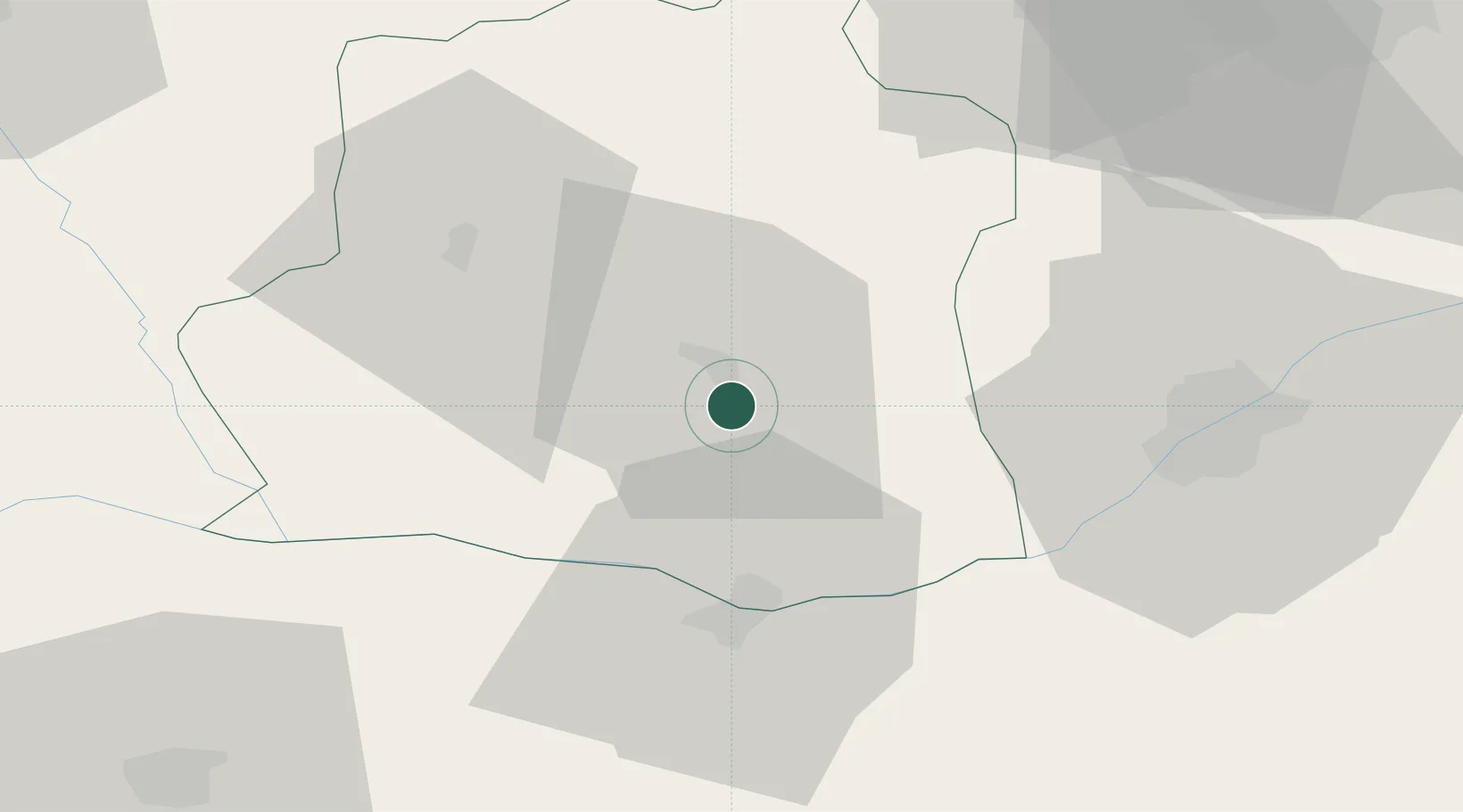
Location
Nearby Logistics Neighbours
Cities
- 1Alexandria8 km
- 2Zimnicea30 km
- 3Svishtov33 km
- 4Vardim33 km
- 5Belene35 km
Airports
Trade Zones
- 1Free Zone Giurgiu49 km
- 2Rousse Free Zone54 km
- 3VGP Park Buharest North79 km
- 4VGP Park Brasov194 km
- 5Maritsa Industrial and Commercial Zone197 km
DatabookThe Record of Consolidated Knowledge
Romania beyond logistics?